TRoutes & Trails
The Lakefront Trail, The 606, the forest preserve trails and the neighborhood rides that make Chicago one of the flattest, easiest big cities to ride.
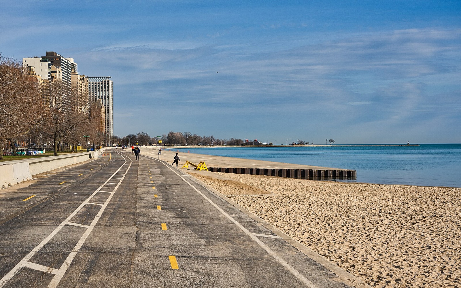
Best Bike Rides in Chicago: Trails Ranked by Type of Ride
The best bike rides in Chicago: the Lakefront Trail, The 606, North Branch Trail, North Shore Channel and the forest preserves, with lengths and surfaces.
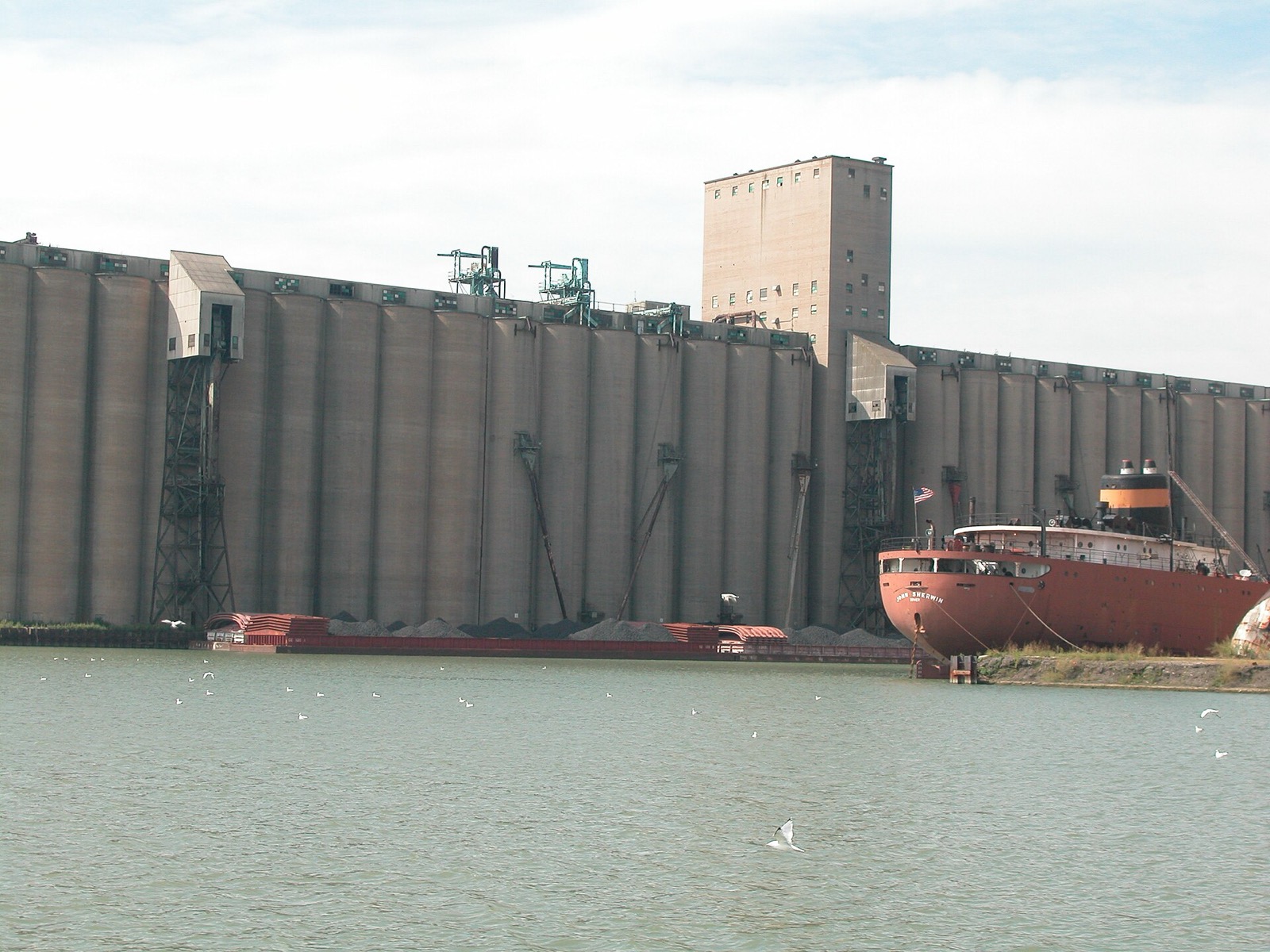
Big Marsh Bike Park: Trails, Pump Tracks, Hours and What's New
Big Marsh Bike Park on Chicago's Southeast Side: BMX, mountain bike and cyclo-cross trails, two free pump tracks, new jump lines, hours and history.
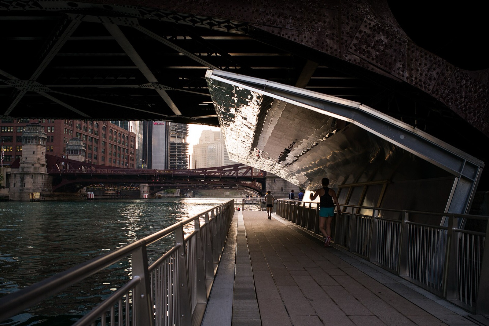
Biking the Chicago Riverwalk: What the City Allows
Bikes are allowed on the Chicago Riverwalk except where signs say walk. The 1.25-mile route, hours, access ramps, and the bike-ban signs reported in 2024.
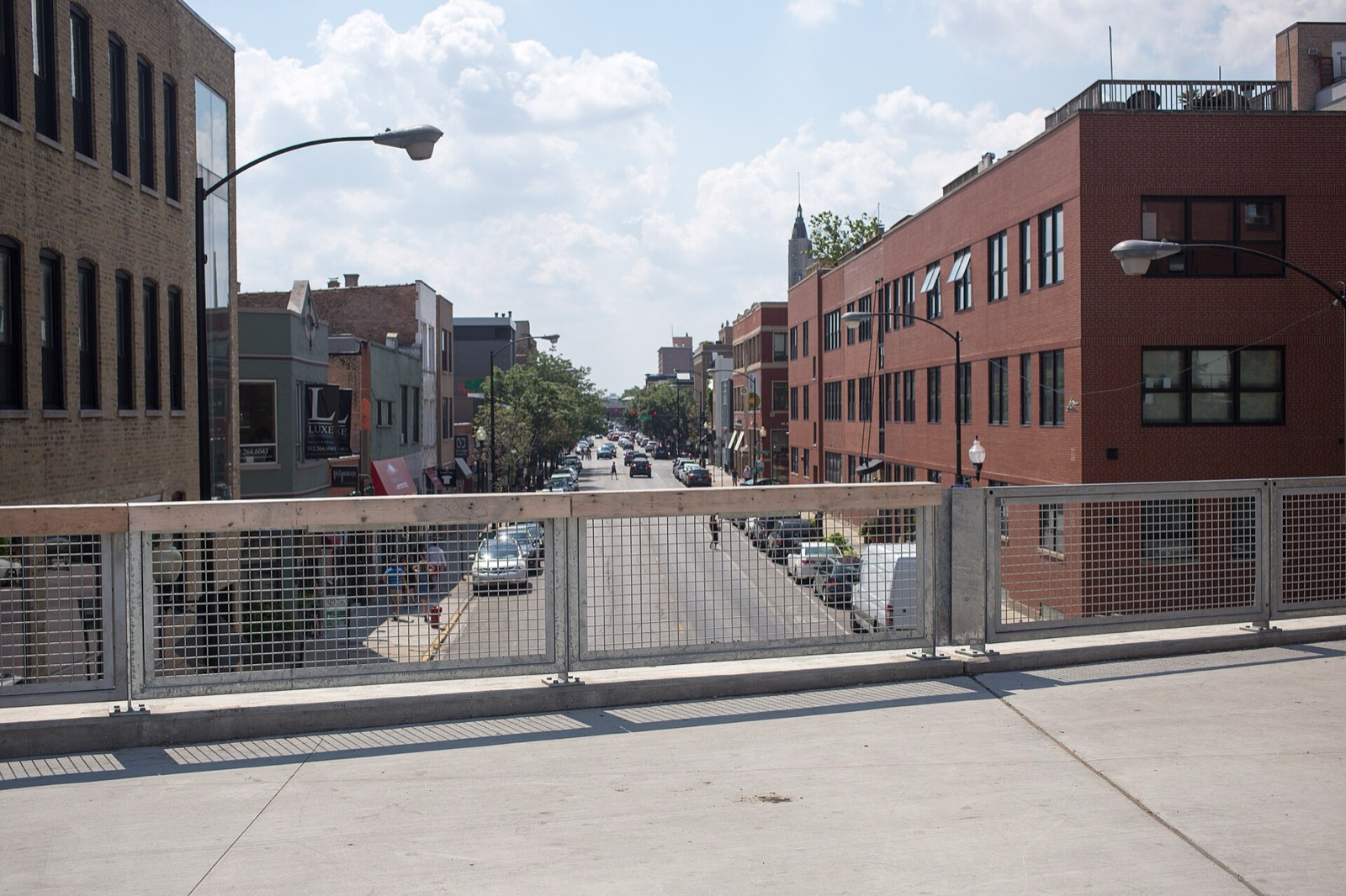
Bucktown and Wicker Park Bike Ride: Milwaukee Avenue and the 606
Ride Bucktown and Wicker Park: the 606 elevated trail, the Milwaukee Avenue protected-lane project, and Six Corners.
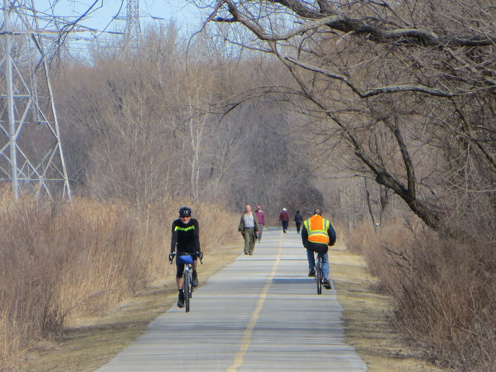
Burnham Greenway: Route, Access Points and the Gap Plan
The Burnham Greenway is a paved former railroad trail of about 11.5 miles from Eggers Grove in Chicago to Lansing. Access, on-street stretches, planned bridge.
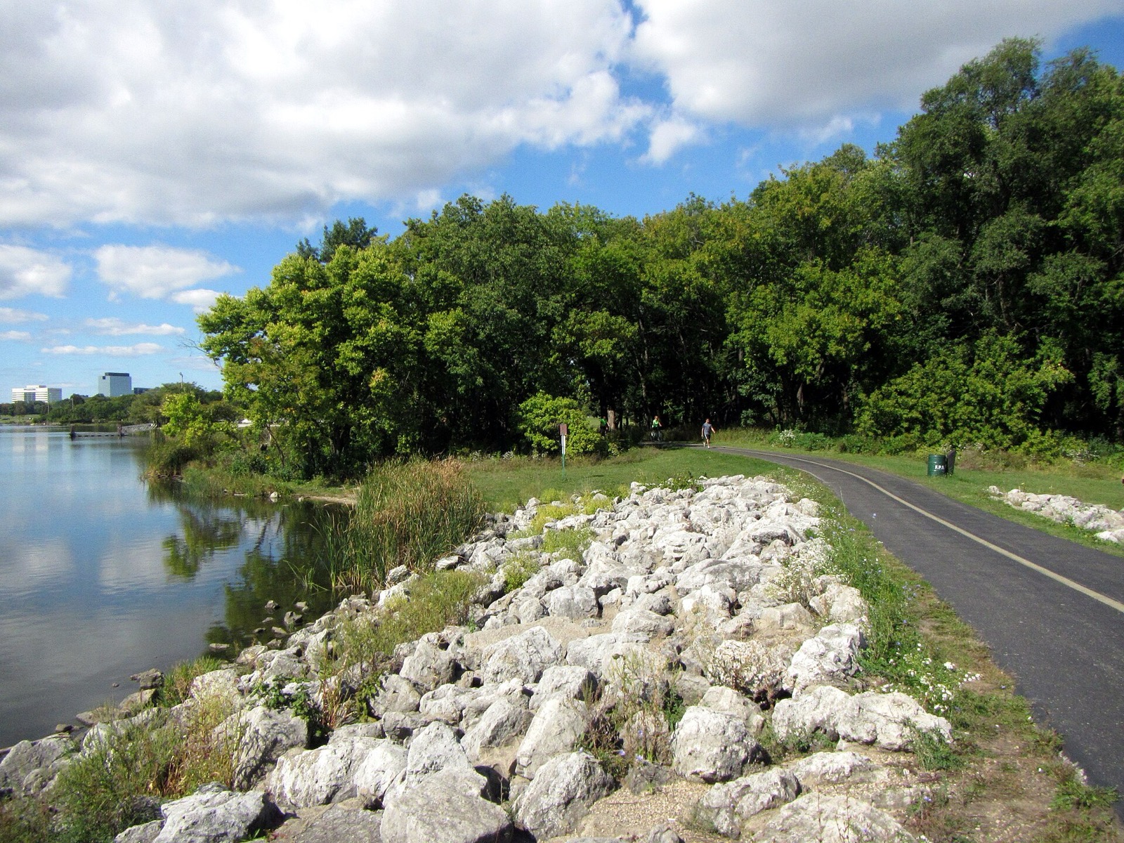
Busse Woods Trail: Loop Length, Elk, Access and Rules
The paved Busse Woods trail circles Busse Reservoir in Elk Grove Village. Loop and spur lengths, the elk pasture, access points, and Cook County rules.
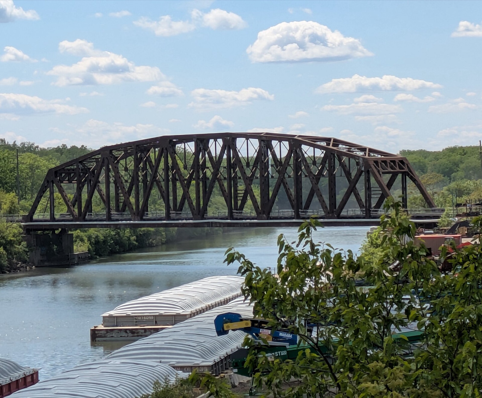
Cal-Sag Trail: Route, Length, Access Points and Open Gaps
The Cal-Sag Trail follows the Cal-Sag Channel from Lemont toward the Burnham Greenway, 26.8 miles when finished. Access points, the 2025 extension, open gaps.
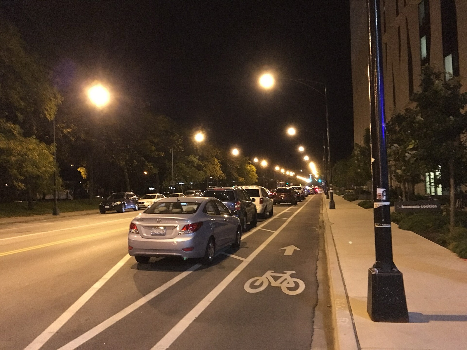
Chicago Bike Map: Official Map, Bikeway Types and Route Planning Apps
The free CDOT Chicago Bike Map shows 500 miles of bikeways, shops, CTA, Metra and Divvy. Where to get it, what the lane types mean, and the apps that route you.
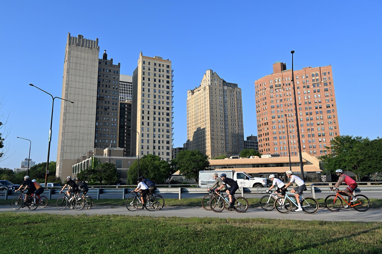
Chicago Lakefront Trail: Length, Access, Sights and Where to Start
The Lakefront Trail runs 18 miles along Lake Michigan from Ardmore to 71st Street. Where to start, what you pass, how long it takes, and current repairs.
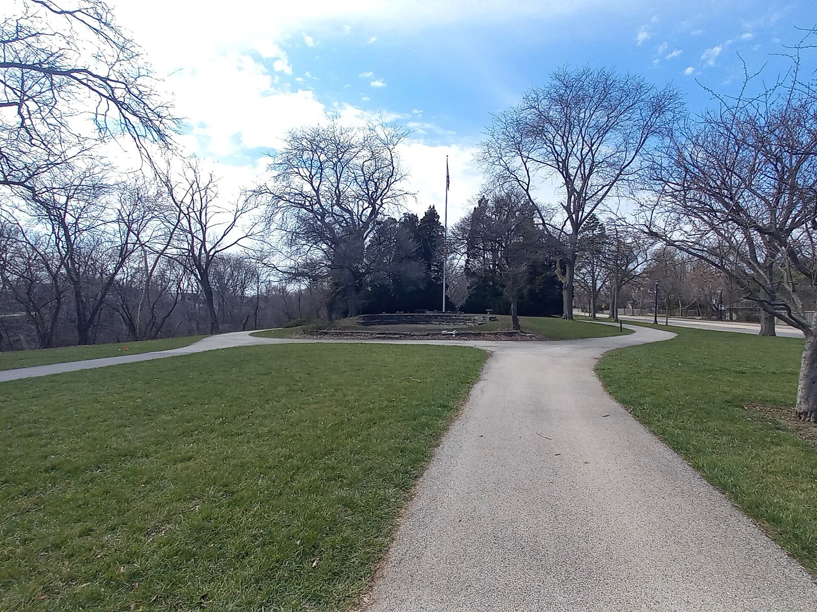
Chicago to Evanston by Bike: Routes, Trail Options and the Ride Home
Two ways to bike from Chicago to Evanston: the Lakefront Trail and Rogers Park streets, or the North Shore Channel Trail. Plus the CTA and Metra ride back.
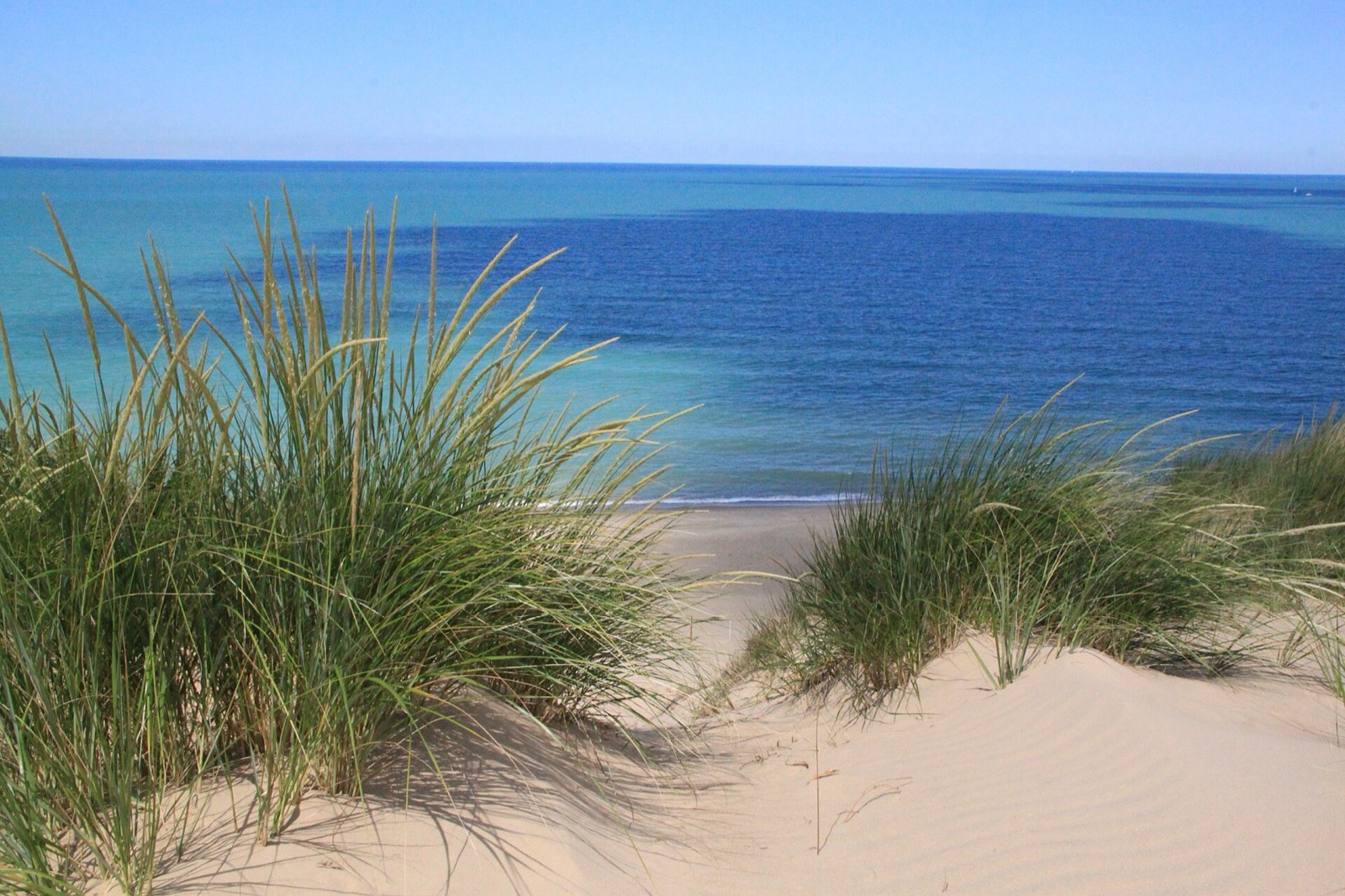
Chicago to Indiana Dunes by Bike: Route, South Shore Line and Park Rules
Bike from Chicago to Indiana Dunes National Park: the 125-mile round trip, the South Shore Line option, park trails, the $15 entry fee and 2026 closures.
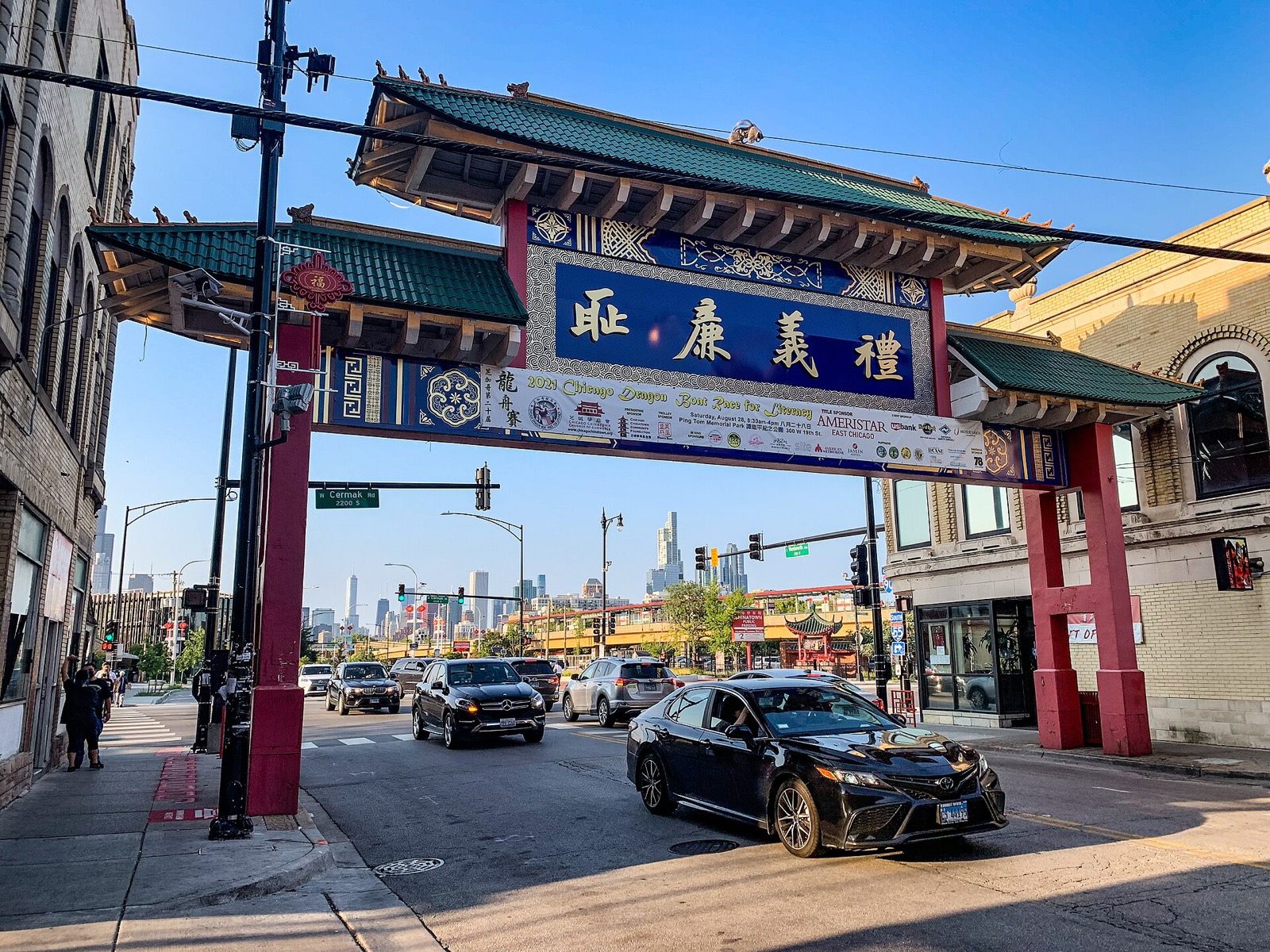
Chinatown, Little Italy and Greektown Bike Ride: Three Districts, One Day
A south-to-north ride from Chinatown's Wentworth Avenue to Taylor Street and Greektown's Halsted Street, past Ping Tom Park and the Wells-Wentworth Connector.
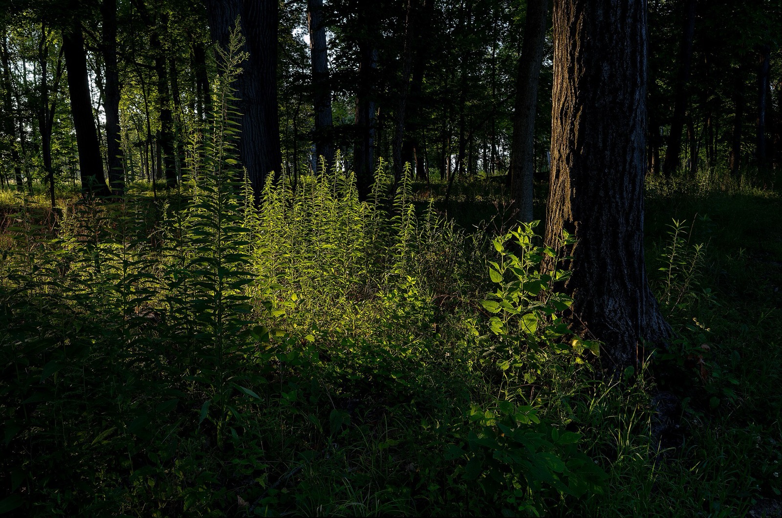
Des Plaines River Trail: Length, Surface, Access and Rides
The Des Plaines River Trail runs 31.4 miles through Lake County and 28.4 miles through Cook County. Surface, hours, access points and flood closures.
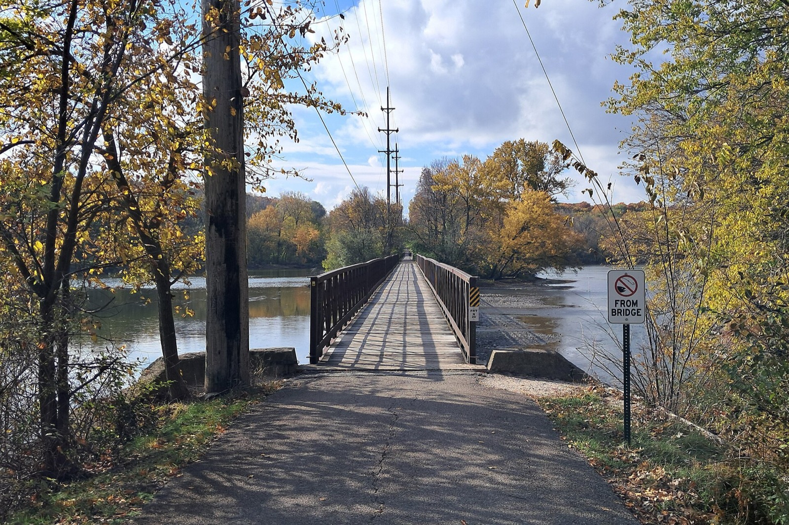
Fox River Trail: Route, Towns, Surface and How to Ride It
The Fox River Trail runs about 43 paved miles through Kane County from Algonquin to Oswego. Towns, bridges, connections and where to start.
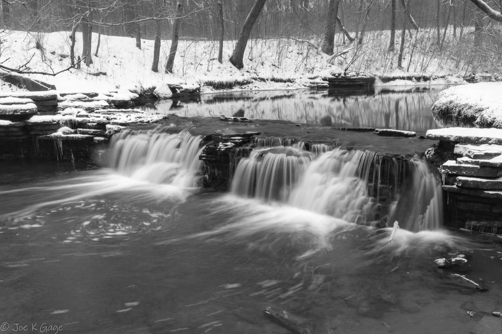
Gravel Riding Near Chicago: Trails, Surfaces and Rules
Where to ride gravel near Chicago: Des Plaines River Trail, I&M Canal, Illinois Prairie Path, Waterfall Glen and Palos, with distances and e-bike rules.
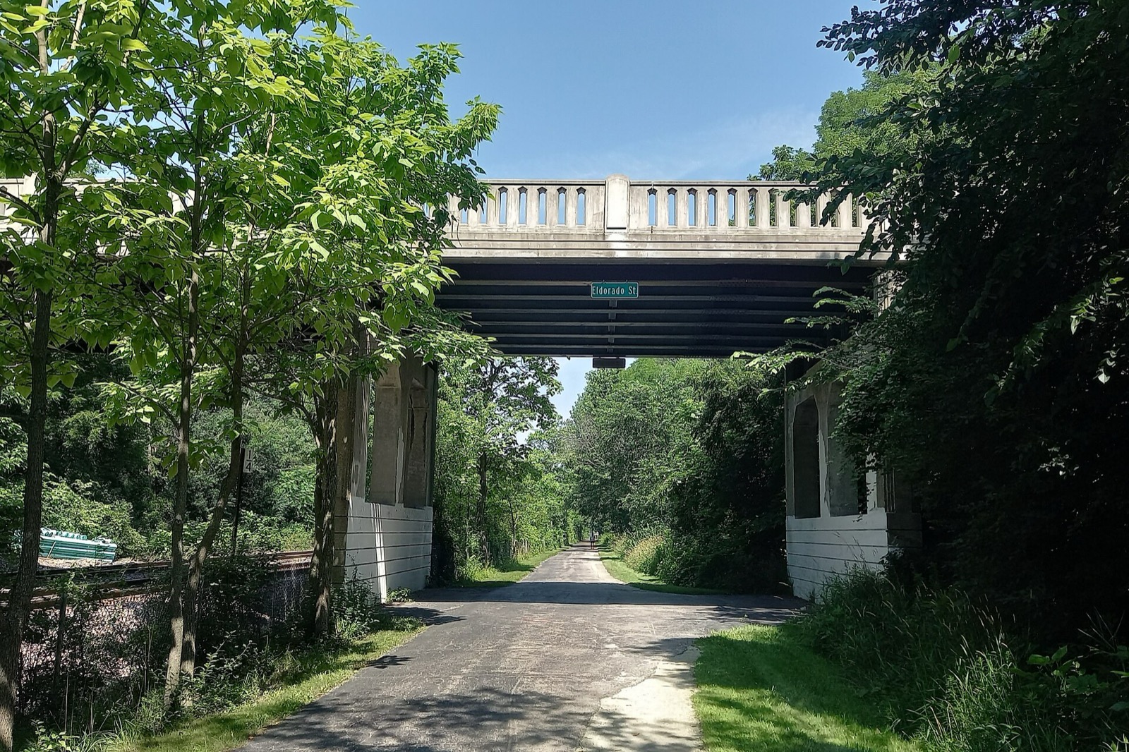
Green Bay Trail: Route, Surface and Metra Access on the North Shore
The Green Bay Trail runs beside the Metra Union Pacific North line from Wilmette to Highland Park. Surface, Winnetka's 2.24 miles, Metra stops, connections.
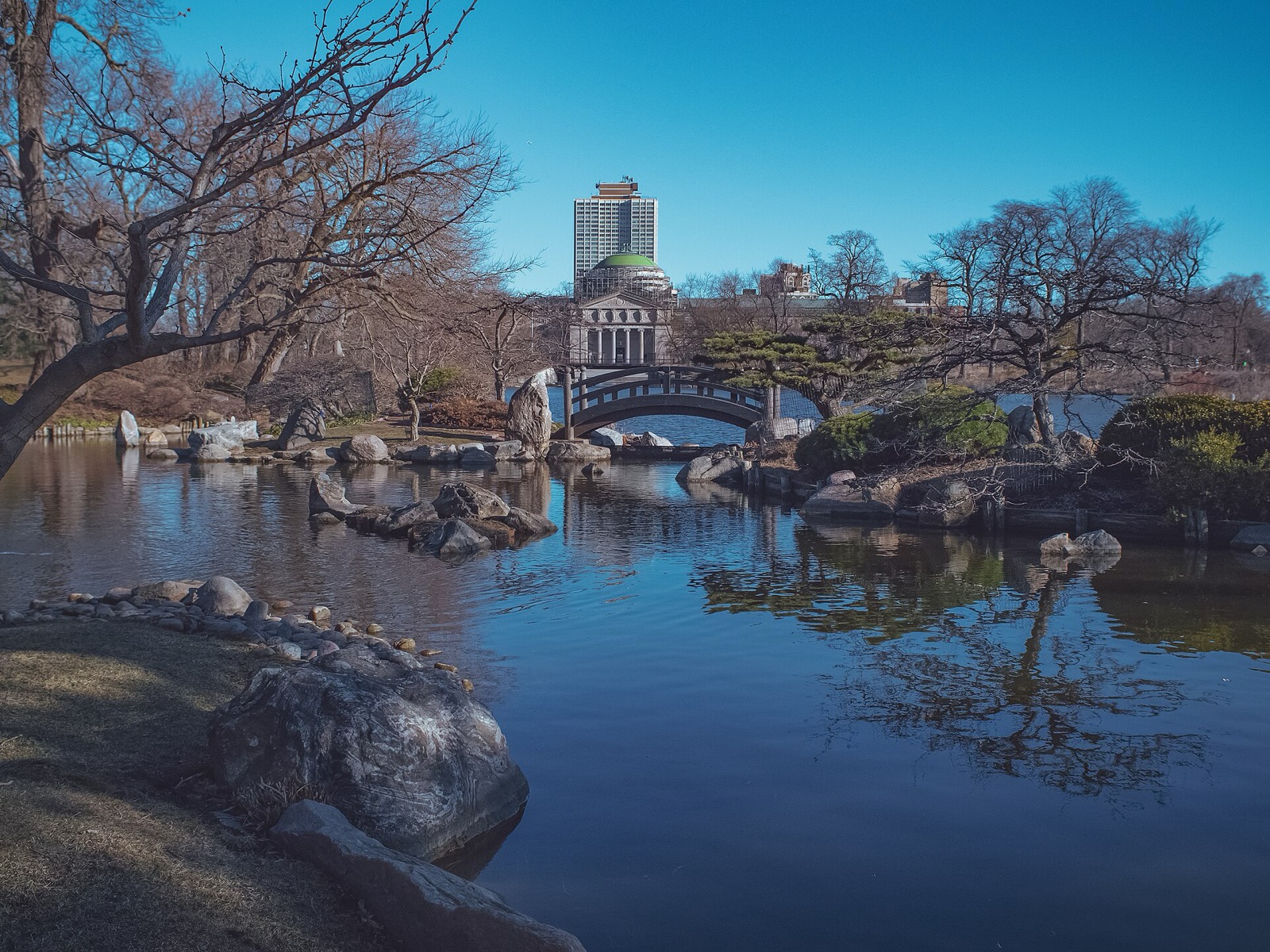
Hyde Park and Jackson Park Bike Ride: Route, Sights and Where to Stop
Ride the Lakefront Trail south to Jackson Park and Hyde Park: the Museum of Science and Industry, the Japanese garden, Promontory Point and the Obama Center.
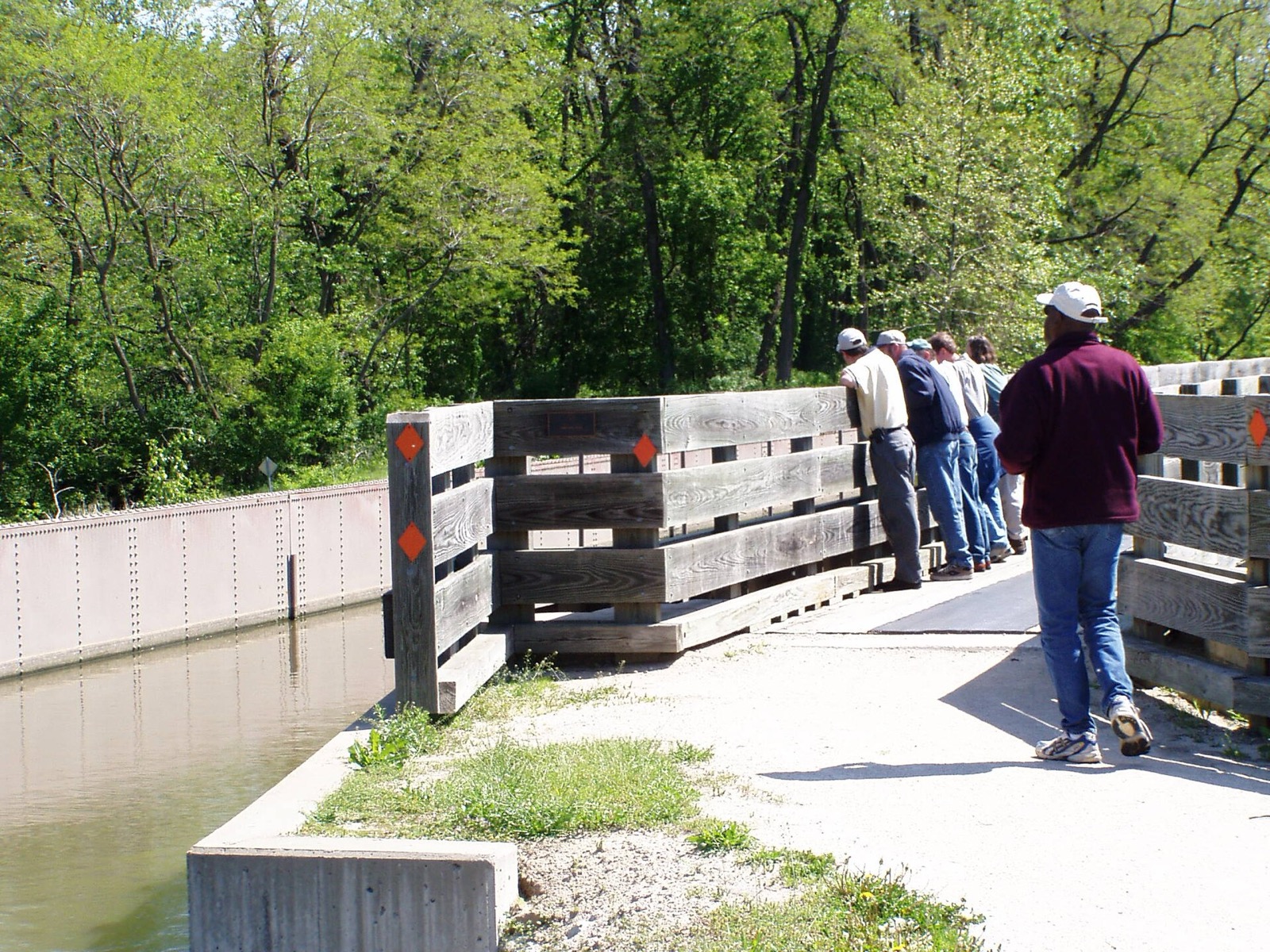
I&M Canal State Trail: Rockdale to LaSalle by Bike
The Illinois & Michigan Canal State Trail runs 61.5 miles along the old towpath from Rockdale to LaSalle. Sections, surface, stops and tires.
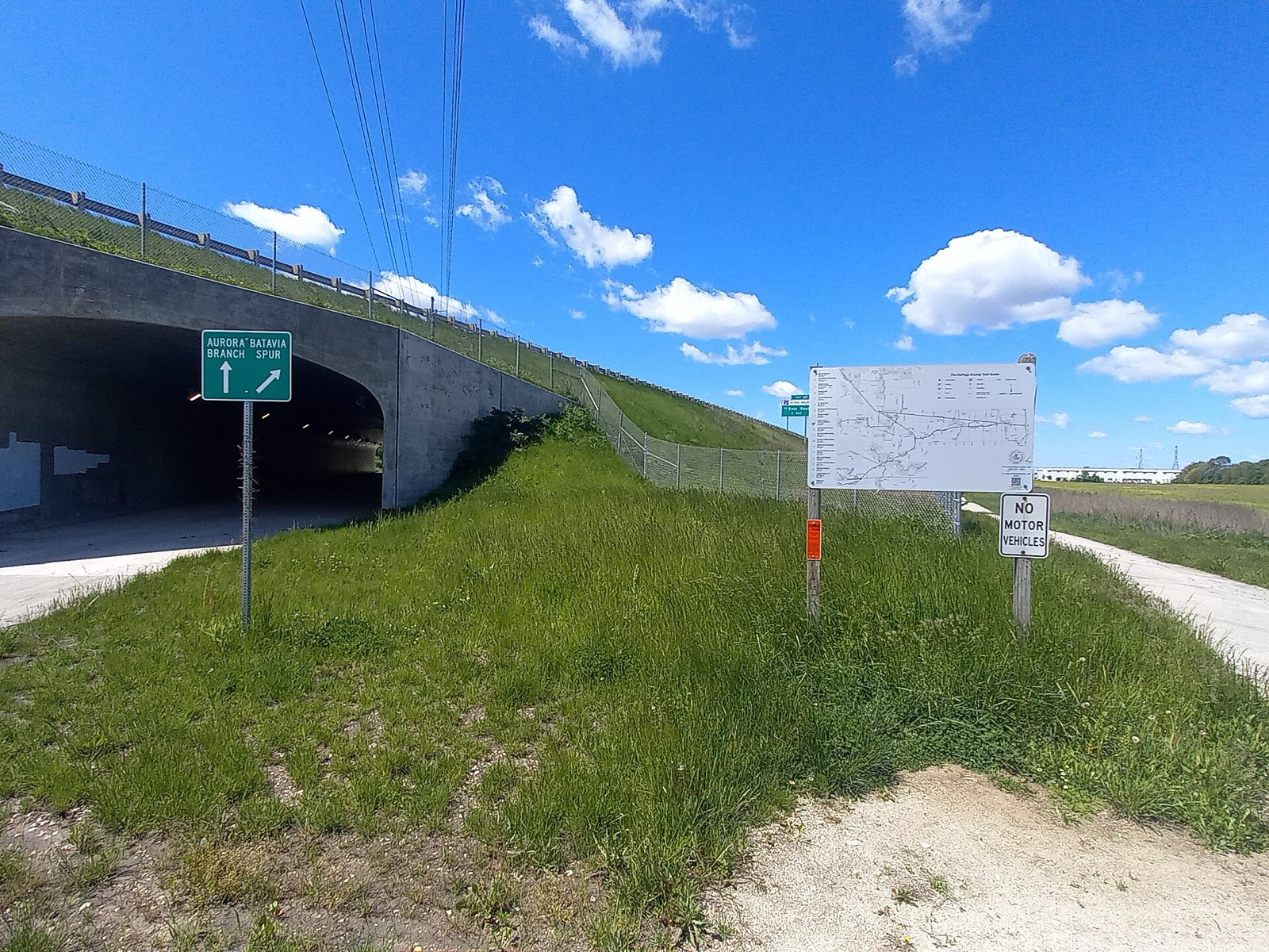
Illinois Prairie Path: Length, Surface, Branches, Parking and Rules
The Illinois Prairie Path is 61 miles of crushed-limestone trail west of Chicago: its branches, the Forest Park CTA station start, parking and trail rules.
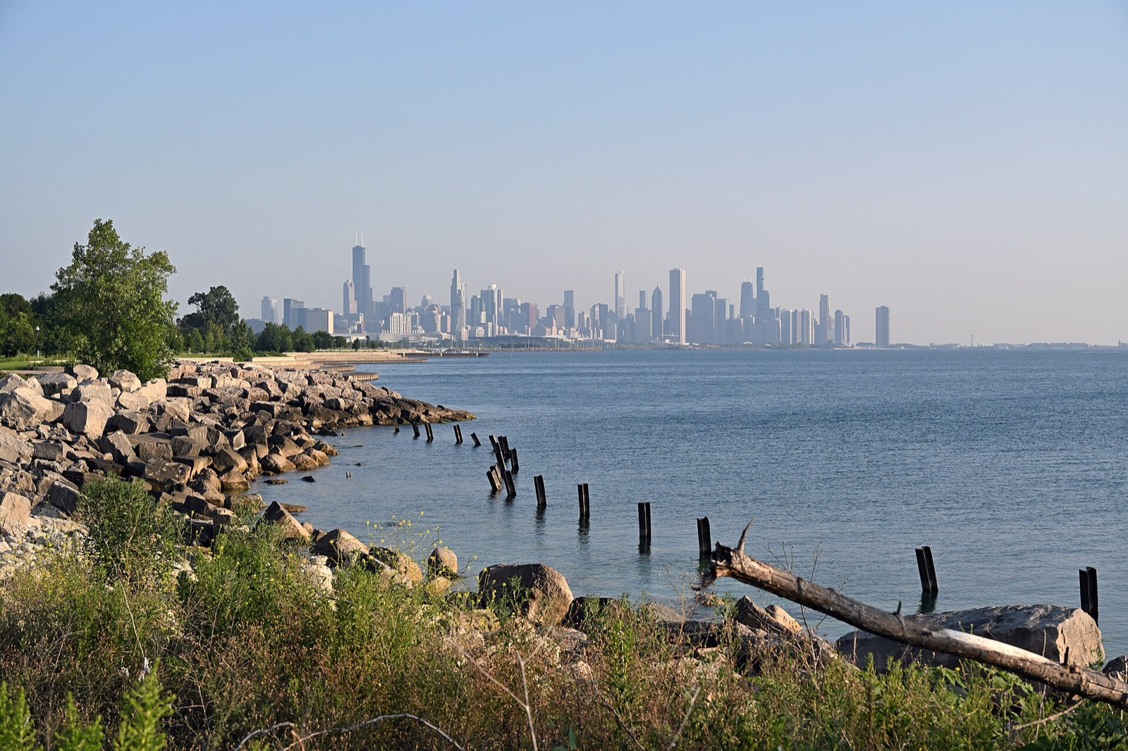
Lakefront Trail Map and Mile Markers: Landmarks from Ardmore to 71st Street
A mile-by-mile guide to the Chicago Lakefront Trail: park sections, landmarks, access points and where the Park District's section maps pick up.
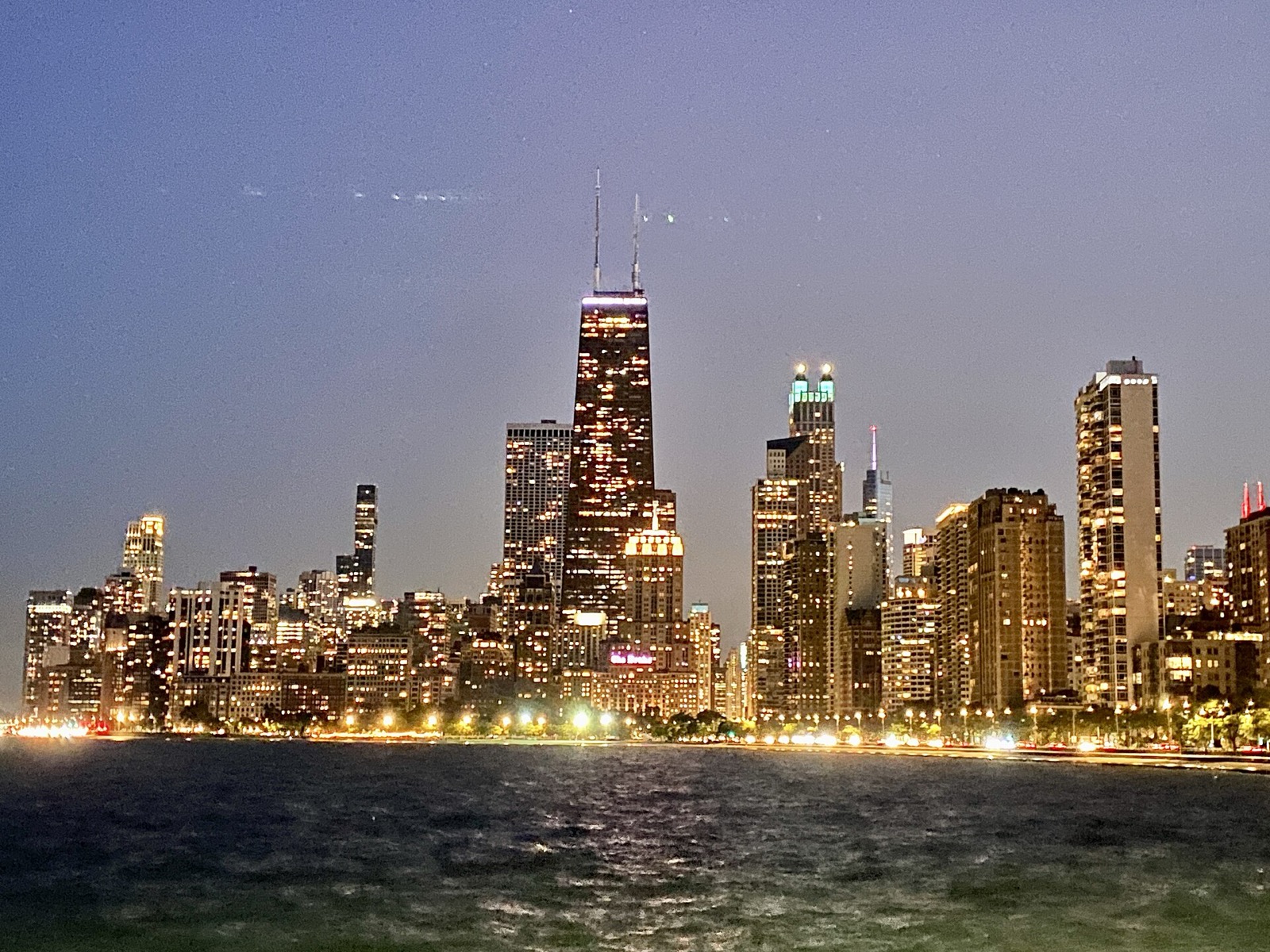
Lincoln Park Bike Ride: Route, Stops and Where to Start
Ride the Lakefront Trail through Lincoln Park: a two-hour north-side route from Oak Street Beach to Belmont Harbor, with the zoo, beaches and current repairs.
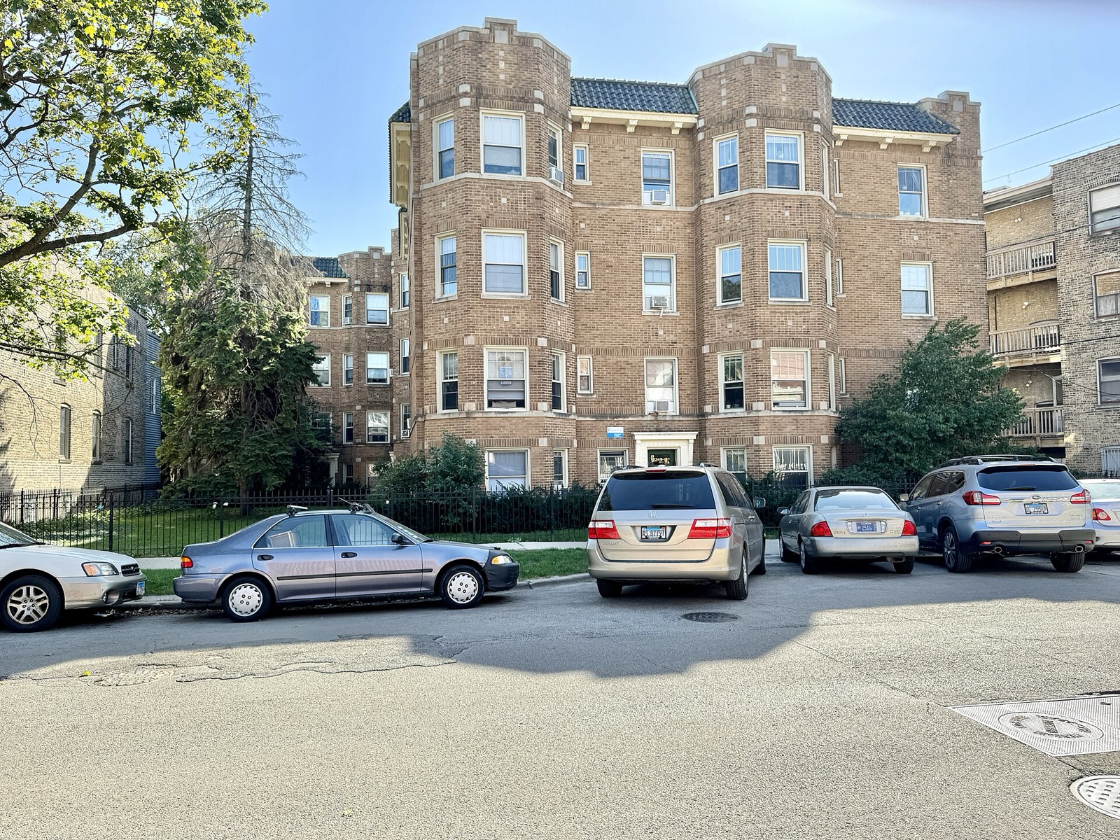
Lincoln Square Bike Ride: Quiet Streets to the North Branch Trail
Ride Lincoln Square on side streets and greenways: Welles Park, Lincoln Avenue, Leavitt and Leland, then west to the North Branch Trail.
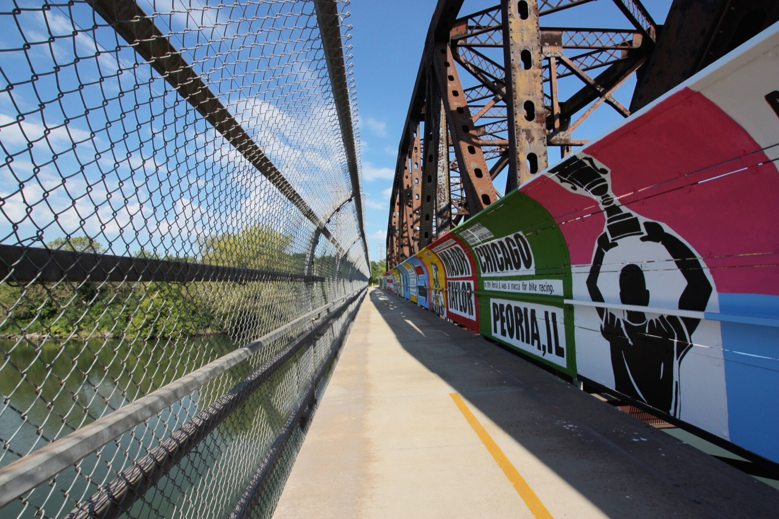
Major Taylor Trail Chicago: Route, Length, Access and History
The Major Taylor Trail is a paved South Side rail-trail from Dan Ryan Woods to Whistler Woods, about 8.1 miles. Sections, access, hours, the racer it honors.
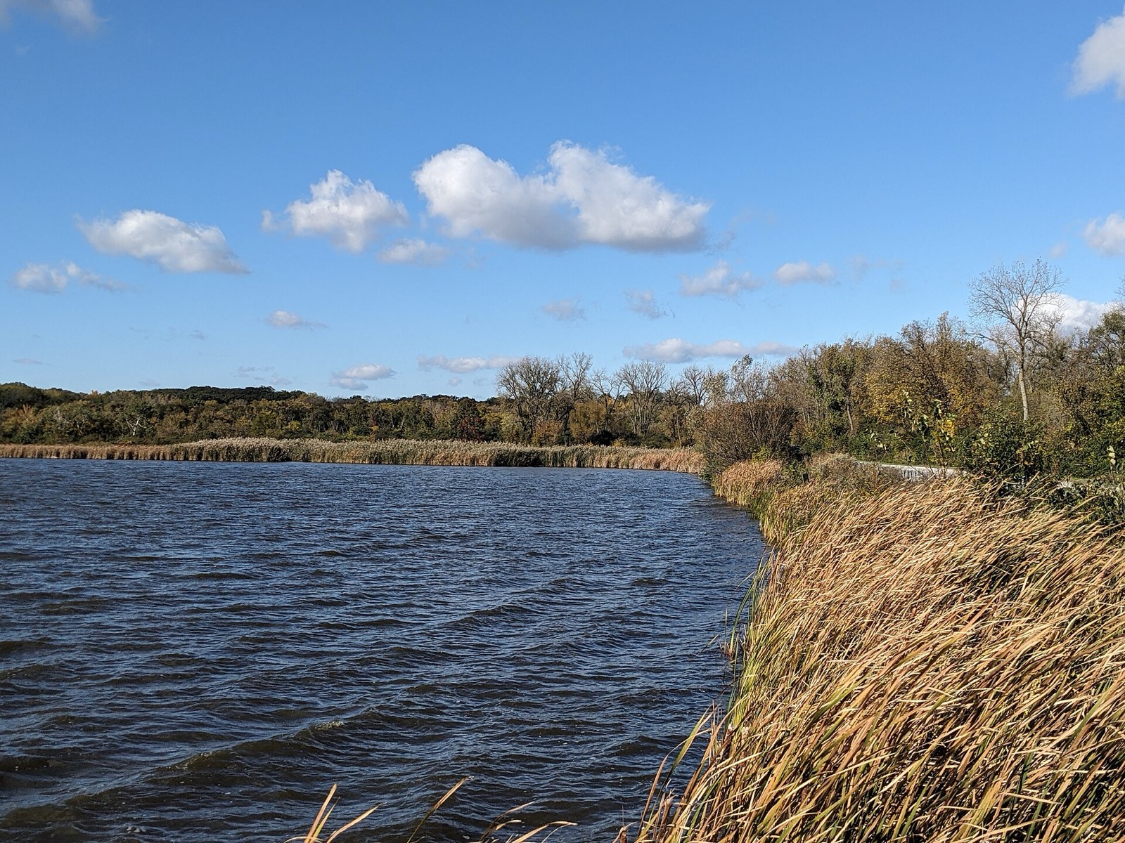
Mountain Biking Near Chicago: Palos, Paul Douglas, Big Marsh
Where to mountain bike near Chicago: Palos and Paul Douglas single track in Cook County, Big Marsh Bike Park, and Wisconsin's Kettle Moraine. Rules and loops.
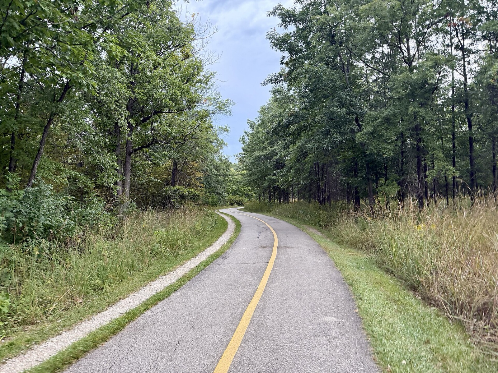
North Branch Trail: Chicago to the Botanic Garden by Bike
The North Branch Trail runs about 20 miles from Chicago's Foster Avenue to the Chicago Botanic Garden. Length, access points, best segments and the Garden link.
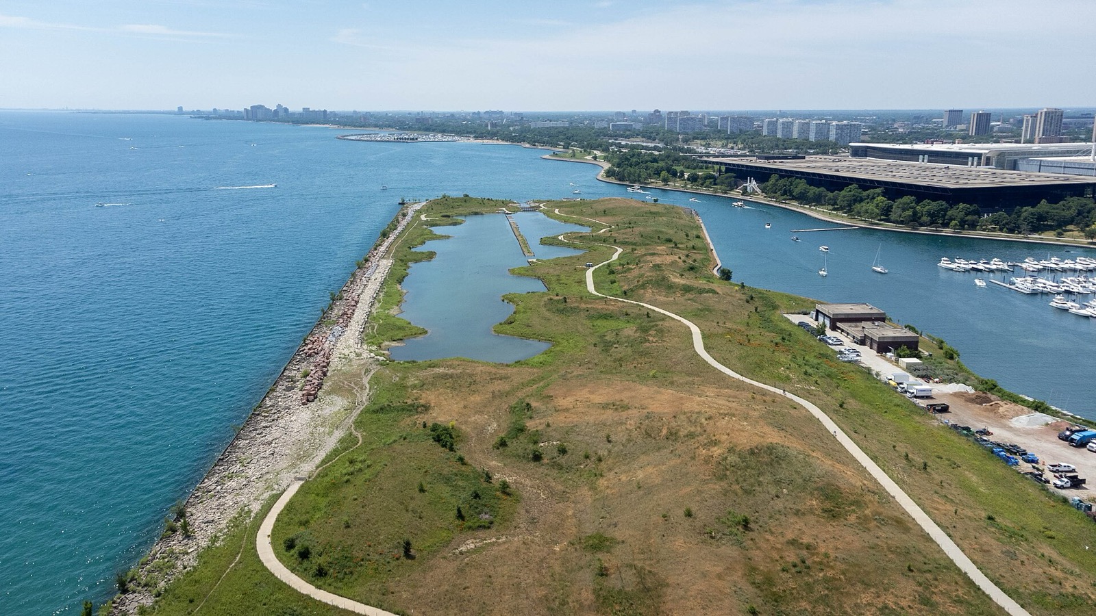
Northerly Island Bike Ride: Paths, Access, Hours and History
Northerly Island is a 119-acre Museum Campus peninsula with a paved path and a lagoon. How to reach it by bike, hours, rules and the Meigs Field story.
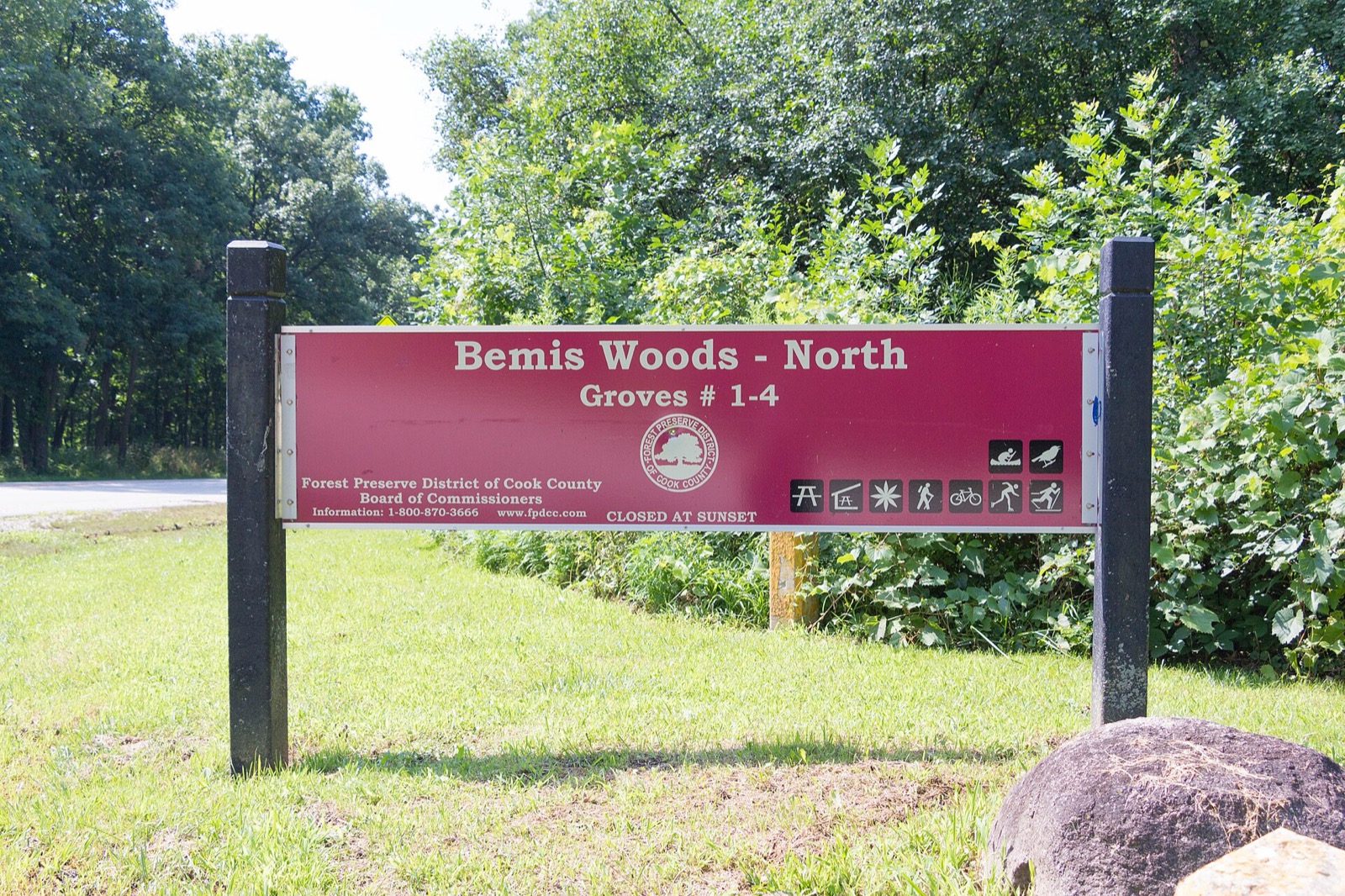
Salt Creek Trail: Route, Length, Access Points and Closures
The Salt Creek Trail follows the creek for 25 miles from Busse Woods to Brookfield Zoo. Where to join, trail rules, flood underpasses and closures.
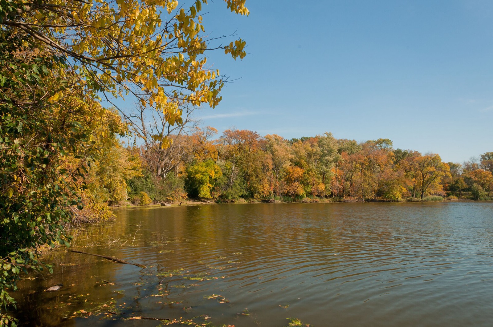
Skokie Lagoons Bike Ride: The Loop, Access Points and Rentals
Ride the North Branch Trail around the Skokie Lagoons: a 4.2-mile loop, where to join, kayak rentals, Botanic Garden links and trail rules.
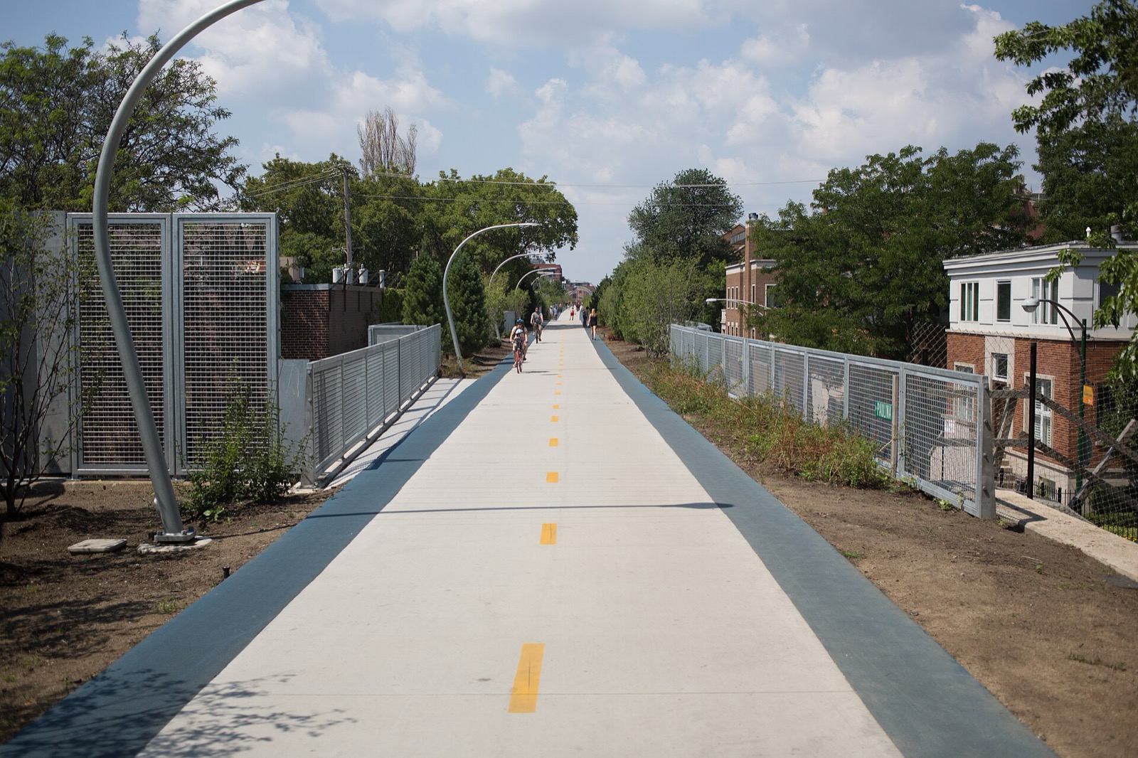
The 606 Trail (Bloomingdale Trail): Map, Access, Hours and What to Know
The 606 is a 2.7-mile elevated trail on the old Bloomingdale rail line. Where it starts and ends, hours, access, parks along it, and the planned extension.
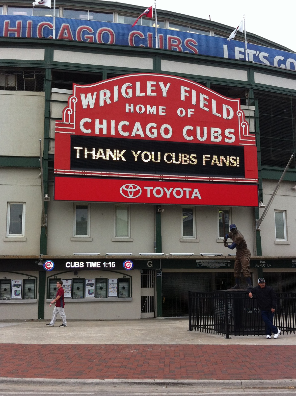
Wrigleyville and Andersonville Bike Ride: Clark Street North
Ride Clark Street from Wrigley Field to Andersonville: bike lanes, the free bike check on Waveland, Belmont Harbor and the protected lane north of Foster.
Photo credits (30)
- Chris Rycroft / Wikimedia Commons · CC BY 2.0 · source
- David Wilson / Wikimedia Commons · CC BY 2.0 · source
- Roman Boed / Wikimedia Commons · CC BY 2.0 · source
- Victor Grigas / Wikimedia Commons · CC BY-SA 4.0 · source
- David Wilson / Wikimedia Commons · CC BY 2.0 · source
- Bohao Zhao / Wikimedia Commons · CC BY 3.0 · source
- Crosbiesmith / Wikimedia Commons · CC BY-SA 4.0 · source
- Eric Fischer / Wikimedia Commons · CC BY 2.0 · source
- DimiTalen / Wikimedia Commons · CC0 · source
- AlphaBeta135 / Wikimedia Commons · CC BY 4.0 · source
- Indianadunes / Wikimedia Commons · CC BY-SA 4.0 · source
- Han Zheng / Wikimedia Commons · CC BY-SA 2.0 · source
- Julesvernex2 / Wikimedia Commons · CC BY-SA 4.0 · source
- AlphaBeta135 / Wikimedia Commons · CC BY 4.0 · source
- Joseph Gage / Wikimedia Commons · CC BY-SA 2.0 · source
- AlphaBeta135 / Wikimedia Commons · CC BY 4.0 · source
- MJChristensen / Wikimedia Commons · CC BY-SA 4.0 · source
- Chris Light / Wikimedia Commons · CC BY-SA 4.0 · source
- AlphaBeta135 / Wikimedia Commons · CC BY 4.0 · source
- DimiTalen / Wikimedia Commons · CC0 · source
- w_lemay / Wikimedia Commons · CC BY-SA 2.0 · source
- w_lemay / Wikimedia Commons · CC BY-SA 2.0 · source
- Bkc2010 / Wikimedia Commons · CC BY-SA 4.0 · source
- Crosbiesmith / Wikimedia Commons · CC BY-SA 4.0 · source
- Theemausoliam / Wikimedia Commons · CC0 · source
- Sea Cow / Wikimedia Commons · CC BY-SA 4.0 · source
- Paul R. Burley / Wikimedia Commons · CC BY-SA 4.0 · source
- bradhoc / Wikimedia Commons · CC BY 2.0 · source
- Victor Grigas / Wikimedia Commons · CC BY-SA 4.0 · source
- Buster7 / Wikimedia Commons · CC BY-SA 4.0 · source


