Chicago Lakefront Trail: Length, Access, Sights and Where to Start
The Lakefront Trail runs 18 miles along Lake Michigan from Ardmore to 71st Street. Where to start, what you pass, how long it takes, and current repairs.
The Chicago Lakefront Trail is an 18-mile bike trail along Lake Michigan, from Ardmore Avenue on the north to 71st Street on the south1. A bike-only trail has run beside the pedestrian trail since 20181. Riding the whole length takes 2–3 hours without stops5. It is open around the clock2.
- At a glance
- Length
- 18 miles, Ardmore Ave to 71st St1
- Ride time
- 2–3 hours end to end, no stops5
- Hours
- Trail open 24 hours; parks and beaches close at 11 PM2
- Surface
- Paved; bike trail separate from pedestrian trail since 20181
Prices from Bobby's Bike Hike, checked 2026-10-19.
On this page
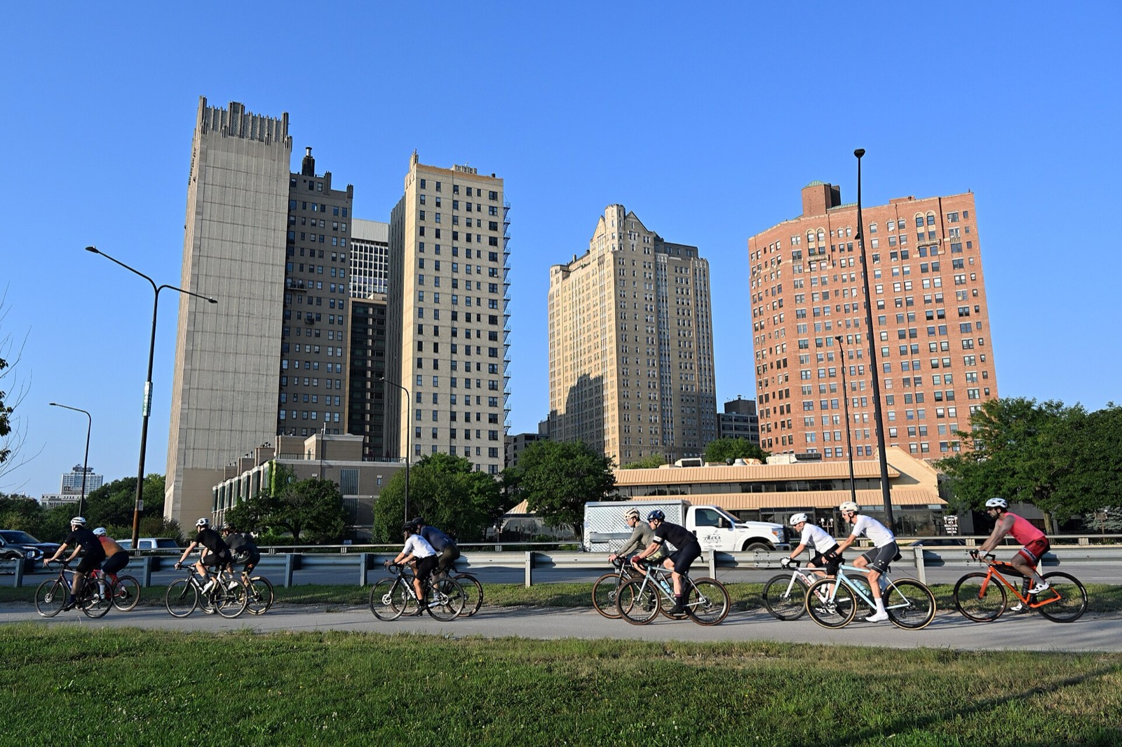
The Lakefront Trail is the spine of riding in Chicago: continuous, with Lake Michigan on one side and the city’s parks and harbors on the other. Start here, then branch out to the rest of Routes & Trails.
What the trail is
The Lakefront Trail follows the western shore of Lake Michigan for 18 miles1. Mayor Richard J. Daley designated it the city’s first official bike path in 19632. It lies wholly within the city limits and passes through four lakefront parks, north to south: Lincoln Park, Grant Park, Burnham Park and Jackson Park2.
Commuters, marathon trainers, parents with strollers and tourists on rental bikes all share the corridor1. On busy summer days the trail carries 70,000 people2.
Bike trail and pedestrian trail
In 2018 the Park District finished the trail separation project. It split the former combined-use path into an 18-mile bike trail and an 18.5-mile pedestrian trail1. Ride in the bike lane. Leave the walking path to walkers and runners.
Pass on the left and say so. Riders recommend calling out “On your left” or ringing a bell, and keeping to the right at all times5. Ride at a speed that suits the crowd5.
Where to get on
Entry points are frequent. Underpasses and pedestrian bridges cross Lake Shore Drive at many places along the route5. Three starts cover most visitors:
| Start | Why use it |
|---|---|
| Ohio Street underpass | Closest to Navy Pier5 |
| Monroe Street | Convenient for Millennium Park and Buckingham Fountain5 |
| Museum Campus | Access to the Shedd Aquarium, Adler Planetarium and Field Museum5 |
The north end is Ardmore Street at 5800 N. Sheridan Road. The south end is 71st Street at 7100 S. South Shore Drive3. Need wheels? See bike rental on the Lakefront Trail. The trail also accepts Divvy bikes3.
How long to allow
The whole trail takes 2–3 hours without stops5. Add time for the places worth stopping at. For a plan with mile markers and sections, read the Lakefront Trail map and mileage guide. The Park District publishes section maps for each stretch of the route, from Ardmore to Montrose in the north to 55th to 71st Street in Jackson Park1.
What you pass
From south to north, the path runs by the South Shore Cultural Center, the Museum of Science and Industry, McCormick Place, Soldier Field, the Museum Campus, Monroe Harbor, Navy Pier, Belmont Harbor and the Waveland Clock Tower2. The trail connects most Chicago beaches and three skate parks, at 31st Street, Grant Park and Wilson Avenue2.
Beaches and parks along the way include South Shore Beach, Promontory Point, Northerly Island, Maggie Daley Park, Ohio Street Beach, Oak Street Beach, North Avenue Beach, Belmont Harbor, Montrose Beach and Foster Beach3. Public restrooms stand at major beaches and parks, at Navy Pier, the Museum Campus and Lincoln Park Zoo5.
The Navy Pier Flyover
The old trail used to meet street traffic at Grand and Illinois. The Flyover, opened in 2018, carries riders, runners and walkers over both streets4. The project finished in May 20212. It created a continuous trail section of almost half a mile from Ohio Street Beach to the south side of the Chicago River4. In 2021 the City said that once the bridge-house work was complete, the trail would be at least 16 feet wide for its full length4.
Repairs in 2026
The Park District announced repairs on 9/14/261. The work is asphalt patching and seal-coating, with concrete edge repair where needed1. It starts at 6300 south, east of DuSable Lake Shore Drive, and moves north one section at a time to Foster Avenue1. Signs go up ahead of each work zone1. The Park District asks riders to avoid active construction work zones1.
Season and hours
The trail is open 24 hours a day, but the parks and beaches beside it close at 11 PM2. It is busiest between Memorial Day and Labor Day, and locals ride it year-round5.
Read next
Lakefront Trail Map and Mile Markers: Landmarks from Ardmore to 71st Street
A mile-by-mile guide to the Chicago Lakefront Trail: park sections, landmarks, access points and where the Park District's section maps pick up.
routesThe 606 Trail (Bloomingdale Trail): Map, Access, Hours and What to Know
The 606 is a 2.7-mile elevated trail on the old Bloomingdale rail line. Where it starts and ends, hours, access, parks along it, and the planned extension.
routesBest Bike Rides in Chicago: Trails Ranked by Type of Ride
The best bike rides in Chicago: the Lakefront Trail, The 606, North Branch Trail, North Shore Channel and the forest preserves, with lengths and surfaces.
Questions people ask
How long is the Chicago Lakefront Trail?
The Park District puts the bike trail at 18 miles1. Since the 2018 separation the pedestrian trail runs 18.5 miles beside it1. The route runs from Ardmore Avenue on the north to 71st Street on the south1.
How long does it take to ride the entire Lakefront Trail?
Plan on 2–3 hours for the whole trail without stops5.
Where does the Lakefront Trail start and end?
The north end is Ardmore Street, at 5800 N. Sheridan Road3. The south end is 71st Street, at 7100 S. South Shore Drive3.
Sources
- Lakefront TrailGOV
Chicago Park District · chicagoparkdistrict.com · checked 2026-10-19 - Chicago Lakefront TrailREFERENCE
Wikipedia · en.wikipedia.org · checked 2026-10-19 - Chicago Lakefront Trail: Miles of Views & Open Air
Choose Chicago · choosechicago.com · checked 2026-10-19 - Final Phase of Navy Pier Flyover Enters the Homestretch as Lakefront Trail Over the Chicago River is Now OpenGOV
City of Chicago, CDOT · chicago.gov · checked 2026-10-19 - Chicago Lakefront Trail and Bike Rental GuideOPERATOR
Bobby's Bike Hike · bobbysbikehike.com · checked 2026-10-19
Photo credits (1)
- DimiTalen / Wikimedia Commons · CC0 · source

Laws are quoted from Illinois statute and the Chicago Municipal Code; prices from each operator on the date shown. Editorial policy · Corrections.