Burnham Greenway: Route, Access Points and the Gap Plan
The Burnham Greenway is a paved former railroad trail of about 11.5 miles from Eggers Grove in Chicago to Lansing. Access, on-street stretches, planned bridge.
The Burnham Greenway is a paved trail on a former railroad right-of-way, with an estimated total length of 11.5 miles1. It links Eggers Grove on Chicago's South Side to the Thorn Creek Trail System in Lansing1,2. Several segments run on-street, and Cook County has studied a bridge over the rail tracks to close a gap1,3.
- At a glance
- Length
- 11.5 miles, estimated total1
- Surface
- Paved, with numerous on-street segments1
- Hours
- Year-round, sunrise to sunset1
- Trailheads
- Eggers Grove and Green Lake Woods1
- Gap project
- Burnham Multimodal Connector: county goal of 2027, as reported in 20232
On this page
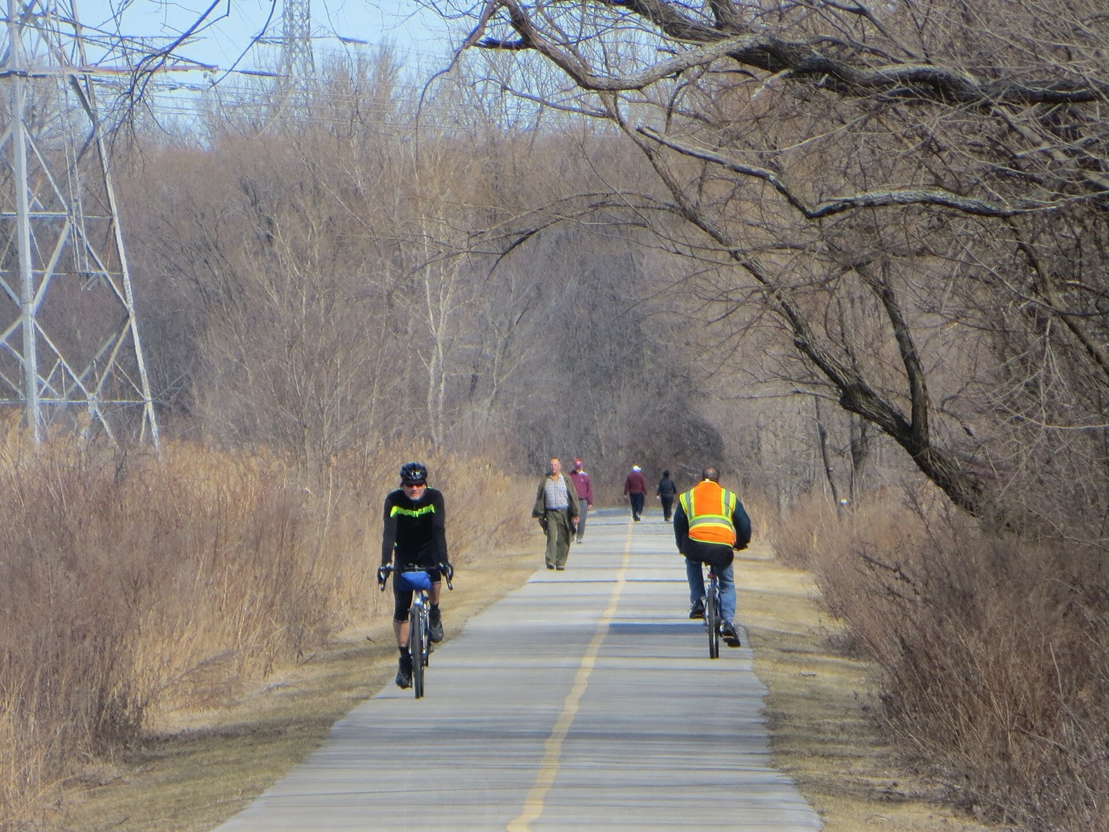
The Burnham Greenway is a South Side and south suburban trail built where trains once ran. At its southern end it connects to the Thorn Creek system. See Routes & Trails for the wider map.
What the Greenway is
The trail follows a former railroad right-of-way1. It includes numerous on-street segments, so it is not one unbroken path1. It links Eggers Grove to the north with the Thorn Creek Trail System to the south1. The Forest Preserves place it in Burnham, Calumet City, Chicago and Lansing1.
The Forest Preserves put the total length at an estimated 11.5 miles1. The route runs from Chicago’s South Side to the I-80 freeway2.
Surface, hours and rules
The surface is paved1. The trail is open year-round from sunrise to sunset1. The Forest Preserves list hiking and walking, bicycling and cross-country skiing, with dogs on leash only1. They ask every user to be courteous, follow posted signs, and follow the trail rules and etiquette1.
Where to get on
| Access point | Location |
|---|---|
| Eggers Grove | E 112th Street and S Avenue E, Chicago1 |
| Green Lake Woods | Torrence Avenue, north of 159th Street and River Oaks Drive, Calumet City1 |
Those are the two forest preserve access points1. Because so much of the route is on-street, use the web map or the PDF map to find the on-street and bikeway access points before you ride1.
The gap and the Burnham Multimodal Connector
Cook County Department of Transportation and Highways led a Phase I study of a grade-separated pedestrian and bicycle bridge over multiple railroad tracks and Brainard Avenue3. The bridge would provide access to Hegewisch Station, the planned Burnham Greenway Trail in the City of Chicago, and the planned Burnham Greenway Trail in the Village of Burnham3.
The county completed a feasibility study of bridge options in 20193. The county held a virtual public meeting on the Phase I study on May 13, 20213. The Active Transportation Alliance reported in 2023 that the Burnham Multimodal Connector is one of the bike projects Cook County wants to finish by 20272. The connector is meant to fill gaps by going up and over roads, railways and ComEd power lines2.
The connector belongs to Cook County’s bike plan, which aims to put 96 percent of county residents within one mile of a bike path or bike lane suitable for any rider2.
Where it leads: the Thorn Creek system
The Greenway’s southern end meets the Thorn Creek Trail System, which has an estimated total length of 23.5 miles, paved and unpaved4. Its nearly 23 miles of trail connect multiple forest preserves, winding past lakes, wetlands and woodlands4. The system runs through Calumet City, Chicago Heights, Glenwood, Lansing, Lynwood, Park Forest and South Holland4. Its access points are listed from west to east, and the maps show on-street and bikeway connections4.
The Greenway links to the Thorn Creek system, so riders can continue south onto it1. Check both maps for the on-street links between them1,4.
Planning a ride
Treat the Greenway as a connector rather than a destination loop. Start at Eggers Grove or Green Lake Woods, carry a map for the on-street stretches, and check the Forest Preserves page for closures before you go1. For neighboring routes, read the Cal-Sag Trail guide and the Major Taylor Trail.
Read next
Major Taylor Trail Chicago: Route, Length, Access and History
The Major Taylor Trail is a paved South Side rail-trail from Dan Ryan Woods to Whistler Woods, about 8.1 miles. Sections, access, hours, the racer it honors.
routesCal-Sag Trail: Route, Length, Access Points and Open Gaps
The Cal-Sag Trail follows the Cal-Sag Channel from Lemont toward the Burnham Greenway, 26.8 miles when finished. Access points, the 2025 extension, open gaps.
routesBest Bike Rides in Chicago: Trails Ranked by Type of Ride
The best bike rides in Chicago: the Lakefront Trail, The 606, North Branch Trail, North Shore Channel and the forest preserves, with lengths and surfaces.
Questions people ask
How long is the Burnham Greenway?
The Forest Preserves of Cook County list an estimated total length of 11.5 miles1.
Where does the Burnham Greenway start and end?
It links Eggers Grove in the north with the Thorn Creek Trail System in the south1. Eggers Grove is at E 112th Street and S Avenue E in Chicago1. The Active Transportation Alliance places the Thorn Creek system in the south suburb of Lansing2.
Is the Burnham Greenway paved?
Yes. The Forest Preserves list the surface as paved1. The route also includes numerous on-street segments, so expect to share some streets1.
Sources
- Burnham Greenway Trail SystemGOV
Forest Preserves of Cook County (via Wayback) · fpdcc.com · checked 2026-10-19 - South Side trail updates and improvementsNONPROFIT
Active Transportation Alliance · activetrans.org · checked 2026-10-19 - Burnham Multimodal Connector Phase I StudyGOV
Village of Burnham / Cook County DoTH (via Wayback) · burnham-il.gov · checked 2026-10-19 - Thorn Creek Trail SystemGOV
Forest Preserves of Cook County (via Wayback) · fpdcc.com · checked 2026-10-19
Photo credits (1)
- David Wilson / Wikimedia Commons · CC BY 2.0 · source

Laws are quoted from Illinois statute and the Chicago Municipal Code; prices from each operator on the date shown. Editorial policy · Corrections.