Des Plaines River Trail: Length, Surface, Access and Rides
The Des Plaines River Trail runs 31.4 miles through Lake County and 28.4 miles through Cook County. Surface, hours, access points and flood closures.
The Des Plaines River Trail follows its river through two counties. Lake County's section is 31.4 miles, from Russell Road in Wadsworth south to Lake Cook Road2. Cook County's section is estimated at 28.4 miles, paved and unpaved1. Bicycles are allowed in both1,2, and both counties close the trail at sunset1,2.
- At a glance
- Lake County
- 31.4 miles, Russell Road to Lake Cook Road2
- Cook County
- 28.4 miles estimated, paved and unpaved1
- North end
- Mile marker 0, Russell Road lot, Van Patten Woods, Wadsworth2
- Watch for
- Flood closures after heavy rain; underpasses flood in spring3
On this page
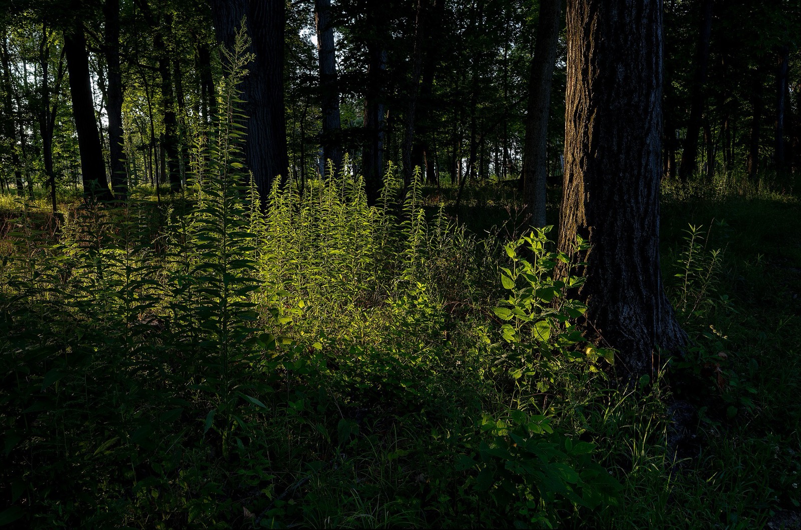
The Des Plaines River Trail is two trails under two agencies, joined at Lake Cook Road. Lake County runs the northern half and the Forest Preserves of Cook County run the southern half. Read both before you plan, and see Routes & Trails for the rest of the network.
Two counties, two surfaces
| Section | Length | Surface | Hours |
|---|---|---|---|
| Lake County | 31.4 miles2 | — | 6:30 am to sunset, daily2 |
| Cook County | 28.4 miles, estimated1 | Paved and unpaved1 | Year-round, sunrise to sunset1 |
Lake County says its trail protects land along more than 76 percent of the river in Lake County2.
Lake County: Wadsworth to Lake Cook Road
The Lake County trail runs nearly the entire length of the county and winds through 12 forest preserves2. Mile marker 0 sits in Van Patten Woods in Wadsworth, at the Russell Road parking lot2. The trail follows the river’s edge south to Lake Cook Road2. From Wadsworth Road south, bridges and underpasses let you travel without crossing any major roads2.
The trail is open for hiking, bicycling, cross-country skiing, horseback riding, and snowmobiling between Russell Road and Wadsworth Road only2. Before you go, check the district’s status page for open and closed trails and underpasses2.
The vision for a trail began to form in the mid-1970s, and the trail was complete in October 20152. West of the river you find prairies and savannas; on the east bank, maple woodlands2.
The river itself is an option too: Lake County offers six canoe and kayak launch sites along it2.
Cook County: Lake Cook Road to River Grove
At Lake Cook Road the trail enters the Cook County Forest Preserves2. The Cook County system runs through Chicago, Des Plaines, Glenview, Melrose Park, Mount Prospect, Northbrook, Park Ridge, River Forest, Rosemont, Schiller Park and Wheeling1. Cook County lists hiking, bicycling, cross-country skiing and equestrian use, with dogs on leash only1.
Access points run from south to north, and the maps show on-street and bikeway connections1. A selection:
| Access point | Location |
|---|---|
| Sunset Bridge Meadow | North Avenue, east of N 1st Avenue, River Grove1 |
| Schiller Woods-South | W Irving Park Road, east of Des Plaines River Road1 |
| Big Bend Lake | Bender Road, south of Golf Road, Des Plaines1 |
| Beck Lake | East River Road and Central Road1 |
| River Trail Nature Center | 3120 Milwaukee Avenue, Northbrook; 847-824-83601 |
| Potawatomi Woods | E Dundee Road, east of N Milwaukee Avenue1 |
The Forest Preserves are working on several projects on this trail system to improve the user experience, enhance safety and explore extending the trail1.
Getting on from the city
Three Cook County access points lie inside Chicago city limits. Schiller Woods-East is on W Irving Park Road, west of N Cumberland Avenue1. Robinson Woods-South is on Lawrence Avenue, west of N East River Road1. Catherine Chevalier Woods is on N East River Road, north of W Foster Avenue1. The southernmost listed access, Sunset Bridge Meadow in River Grove, sits on North Avenue1.
The Forest Preserves ask all trail users to follow posted signs and the trail rules and etiquette1.
Two rides to start with
Beck Lake to River Trail Nature Center. This out-and-back is 5.2 miles on flat, unpaved trail1. Near the Nature Center you can take a self-guided tour through the sugar maple woods1.
Big Bend Lake to Dam No. 4 Woods-East. This out-and-back is 11 miles over mostly flat terrain, unpaved except for a short paved segment through the City of Des Plaines1.
Floods and closures
Much of the trail lies in the flood plain, so sections close from time to time after heavy rain3. The underpasses are highly prone to flooding in spring3. Check the Lake County status page before a spring ride2.
Connections
The trail links to the North Branch Trail and the Green Bay Trail3.
Read next
North Branch Trail: Chicago to the Botanic Garden by Bike
The North Branch Trail runs about 20 miles from Chicago's Foster Avenue to the Chicago Botanic Garden. Length, access points, best segments and the Garden link.
routesBest Bike Rides in Chicago: Trails Ranked by Type of Ride
The best bike rides in Chicago: the Lakefront Trail, The 606, North Branch Trail, North Shore Channel and the forest preserves, with lengths and surfaces.
routesGreen Bay Trail: Route, Surface and Metra Access on the North Shore
The Green Bay Trail runs beside the Metra Union Pacific North line from Wilmette to Highland Park. Surface, Winnetka's 2.24 miles, Metra stops, connections.
Questions people ask
Where does the Des Plaines River Trail start and end?
Mile marker 0 is the Russell Road parking lot in Van Patten Woods, Wadsworth2. The Lake County section runs south to Lake Cook Road, where it meets the Cook County trail system2. In Cook County the access list runs from Sunset Bridge Meadow on North Avenue in River Grove to Potawatomi Woods near Northbrook1.
Is the Des Plaines River Trail open?
Cook County lists the trail as open year-round from sunrise to sunset1. Lake County posts a status page for trails and underpasses2. Sections close occasionally when the river floods after heavy rain3.
Is the Des Plaines River Trail paved?
Partly. Cook County lists the surface as paved and unpaved1. The 11-mile Big Bend Lake route is unpaved apart from a short paved section in the City of Des Plaines1.
Can you bike the Des Plaines River Trail?
Yes. Both counties list bicycling1,2. Cook County allows dogs on leash only1.
Are there easy rides on the trail?
Yes. Cook County recommends a flat, unpaved 5.2-mile out-and-back between Beck Lake and the River Trail Nature Center1.
Sources
- Des Plaines River Trail SystemGOV
Forest Preserves of Cook County (via Wayback) · fpdcc.com · checked 2026-10-19 - Des Plaines River Trail and GreenwayGOV
Lake County Forest Preserves (via Wayback) · lcfpd.org · checked 2026-10-19 - Des Plaines River TrailREFERENCE
Wikipedia · en.wikipedia.org · checked 2026-10-19
Photo credits (1)
- Julesvernex2 / Wikimedia Commons · CC BY-SA 4.0 · source

Laws are quoted from Illinois statute and the Chicago Municipal Code; prices from each operator on the date shown. Editorial policy · Corrections.