Lakefront Trail Map and Mile Markers: Landmarks from Ardmore to 71st Street
A mile-by-mile guide to the Chicago Lakefront Trail: park sections, landmarks, access points and where the Park District's section maps pick up.
The Lakefront Trail spans the city grid from 5800 North to 7100 South2. Runner's World counts miles southbound from Osterman Beach, with markers every half-mile3. The Park District publishes section maps for each park, from Ardmore to 71st Street1. Navy Pier falls near mile 7.53.
- At a glance
- Grid span
- 5800 North to 7100 South2
- Length
- 18 miles1
- Mile 0
- Osterman Beach, counting south3
- Halfway
- Buckingham Fountain, about mile 93
- Official maps
- Park District section maps for every park on the route1
On this page
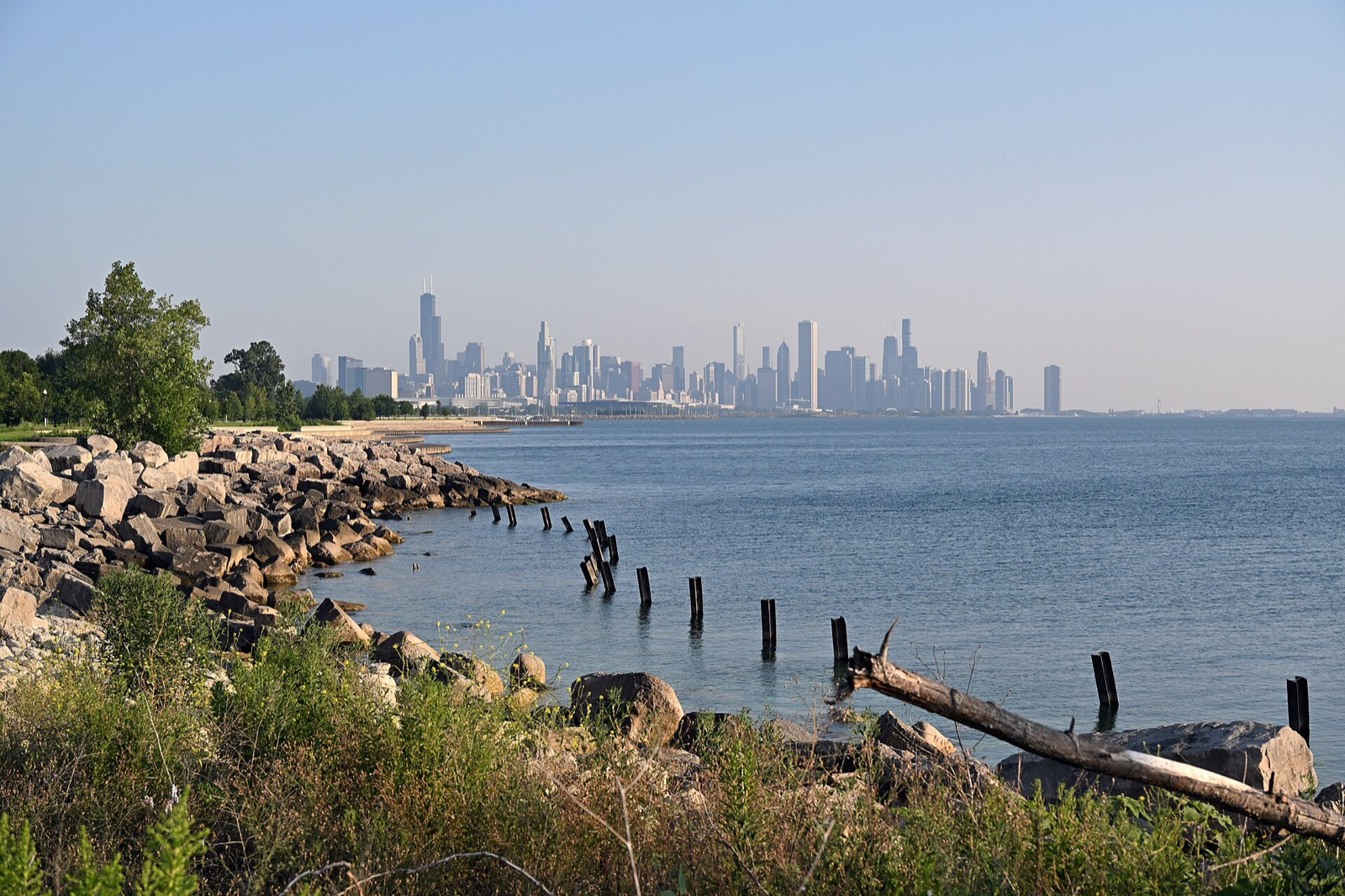
The Lakefront Trail reads two ways: by park section, on the Park District’s maps, and by mile marker, in running guides. This page lays them side by side. More routes sit in Routes & Trails.
The grid and the length
The trail is wholly inside the city limits and spans 7100 South to 5800 North on the Chicago address grid2. The Park District puts the trail at 18 miles1. Intersections along it are clearly signed for path users and motorists2.
Park District sections
The Park District breaks the trail into segment maps, north to south1:
| Park | Segments |
|---|---|
| Lincoln Park | Ardmore to Montrose, Montrose to Fullerton, Fullerton to North, North to Oak, Oak to Ohio1 |
| Grant Park | Chicago River to Roosevelt Road1 |
| Burnham Park | Roosevelt to 31st, 31st to 35th, 35th to 41st, 41st to 55th1 |
| Jackson Park | 55th to 71st Street1 |
The Park District also publishes a symbols guide to review before you ride1.
Mile by mile, heading south
Runner’s World counts miles southbound from Osterman Beach, and describes markers every half-mile for 18 miles3. Great Runs counts from Edgewater Beach and splits the trail into three sections4.
| Mile | Landmark | What to know |
|---|---|---|
| 0 | Osterman Beach | The official beginning of the path3 |
| 0.5 | Foster Beach | Restrooms at the beach house3 |
| 1.5 | Cricket Hill | The path’s steepest, if short, incline by the lake3 |
| 2 | Montrose Harbor | A turn east leads to a gravel path beside a golf course and bird sanctuary3 |
| 5 | Lincoln Park Zoo | Take care crossing Fullerton Parkway3 |
| 5.5 | North Avenue Beach | Crossing point to the lake side3 |
| 6 | Chess Pavilion | A cement pavilion in the center of the path3 |
| 6.5 | Oak Street Beach | High winds send waves over the narrow path to the north3 |
| 7.5 | Navy Pier | Indoor restrooms and water fountains3 |
| 9 | Buckingham Fountain | Almost exactly the halfway point3 |
| 9.5 | Shedd Aquarium and Field Museum | The Museum Campus3 |
| 10 | Northerly Island | Split off just south of the Shedd for seclusion3 |
| 10.5 | McCormick Place | The unofficial line between the busy north and the quiet south3 |
| 13 | Parking lot | Easy to reach from Lake Shore Drive and rarely crowded3 |
| 14 | 47th Street Hill | A slight incline, one of the few in the city3 |
Three sections
Great Runs divides the trail by character4:
- North, miles 0 to 7, Edgewater Beach to Navy Pier. Less crowded, with a gravel running path in parts4.
- Downtown, miles 7 to 11, Navy Pier to McCormick Place. Lots of sights, but crowded on a nice day4.
- South, miles 11 to 18, McCormick Place to Rainbow Beach Park4.
Access points
Underpasses, bridges and highway crossings control access, and a first-time visitor can get stuck5. The Park District publishes a map of designated access points5. From the Loop, the common entrances are Ohio Street Beach Riverwalk, Navy Pier, Ohio Street Beach, the entrances along Grant Park and the Museum Campus5. Public restrooms stand at beaches and harbors, including 63rd Street Beach, Promontory Point, 31st Street Beach, North Avenue, Fullerton and Belmont Harbor5.
Repairs on the south end
The Park District announced repairs on 9/14/26, beginning at 6300 south and working north one section at a time to Foster Avenue1. Riders are asked to avoid active construction work zones1. Need a bike for the day? See bike rental on the Lakefront Trail, and read best bike rides in Chicago for what to ride next.
Read next
Chicago Lakefront Trail: Length, Access, Sights and Where to Start
The Lakefront Trail runs 18 miles along Lake Michigan from Ardmore to 71st Street. Where to start, what you pass, how long it takes, and current repairs.
routesBest Bike Rides in Chicago: Trails Ranked by Type of Ride
The best bike rides in Chicago: the Lakefront Trail, The 606, North Branch Trail, North Shore Channel and the forest preserves, with lengths and surfaces.
rentalsBike Rental on the Lakefront Trail: Shops, Prices, Rules
Where to rent a bike on Chicago's Lakefront Trail: shops at Navy Pier, Millennium Park and the water's edge, day rates, deposits, age limits and trail rules.
Questions people ask
Where are the mile markers on the Lakefront Trail?
Runner's World describes markers every half-mile for 18 miles3. Its southbound count begins at Osterman Beach at mile 0 and reaches the 47th Street Hill at mile 143.
Where does the Lakefront Trail start and end?
On the Chicago grid it spans 5800 North to 7100 South2. The Park District describes it as running from Ardmore Avenue to 71st Street1.
Where is the halfway point of the Lakefront Trail?
Buckingham Fountain sits almost exactly at the halfway point, around mile 9 on the Runner's World count3.
Sources
- Lakefront TrailGOV
Chicago Park District · chicagoparkdistrict.com · checked 2026-10-19 - Chicago Lakefront TrailREFERENCE
Wikipedia · en.wikipedia.org · checked 2026-10-19 - Chicago Running MapPRESS
Runner's World · runnersworld.com · checked 2026-10-19 - Chicago Lakefront Path
Great Runs · greatruns.com · checked 2026-10-19 - Chicago Lakefront Trail running guide
Runstreet · runstreet.com · checked 2026-10-19
Photo credits (1)
- DimiTalen / Wikimedia Commons · CC0 · source

Laws are quoted from Illinois statute and the Chicago Municipal Code; prices from each operator on the date shown. Editorial policy · Corrections.