Lincoln Square Bike Ride: Quiet Streets to the North Branch Trail
Ride Lincoln Square on side streets and greenways: Welles Park, Lincoln Avenue, Leavitt and Leland, then west to the North Branch Trail.
Start at Welles Park, at Lincoln and Montrose5. Ride the Leavitt greenway between Montrose (4400 N.) and Berwyn (5300 N.), which ends at a cul-de-sac just south of Sulzer Library4. Head west on side streets to the North Branch Trail, which winds about 20 miles to the Chicago Botanic Garden3.
- At a glance
- Neighborhood
- Bounded by Bryn Mawr and Peterson, Montrose, Ravenswood Ave and the Chicago River1
- Start
- Welles Park, Lincoln and Montrose Avenues5
- Trail
- North Branch Trail, about 20 miles to the Botanic Garden3
- Lakefront
- About five miles east of the North Branch Trailhead3
- Trail hours
- Sunrise to sunset, year-round6
On this page
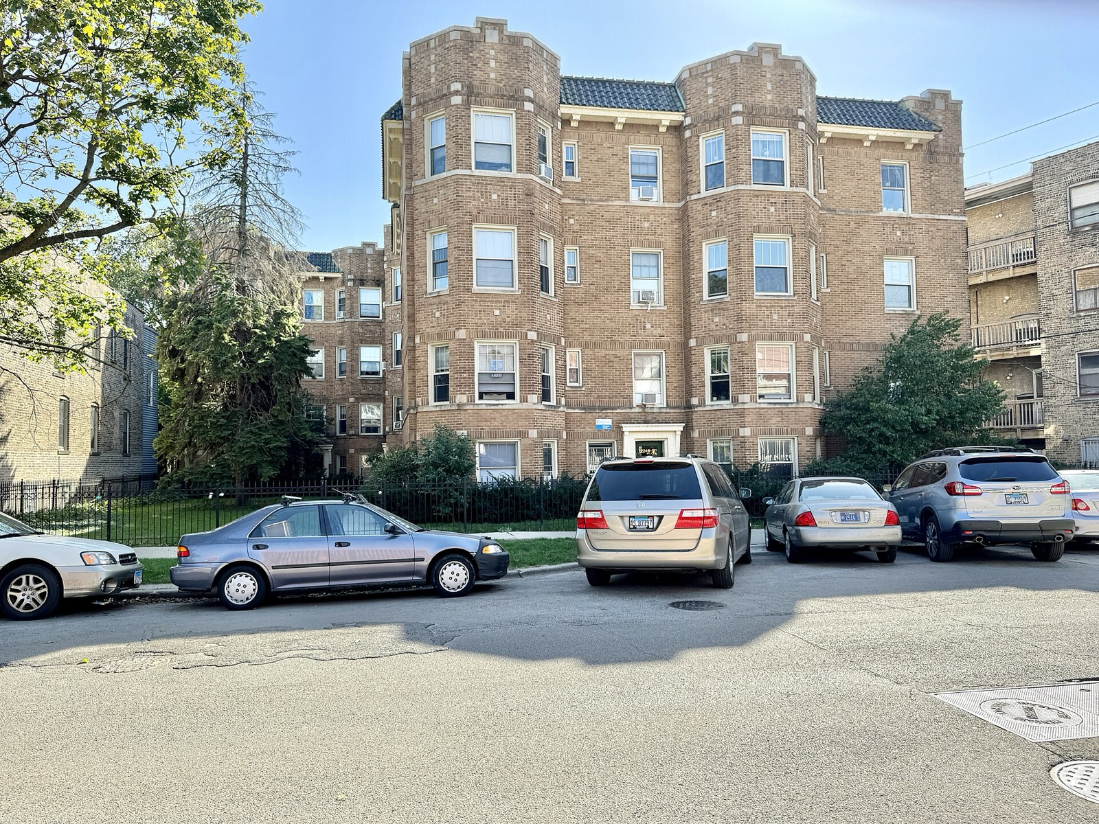
Lincoln Square rewards a rider who stays off the arterials. The streets are quiet, the squares are small and the river is close. Use it as a neighborhood loop, or as the first leg of a ride to the forest preserves. It sits in the Routes & Trails cluster beside Lincoln Park.
The neighborhood
About 41,000 people live here, alongside more than 1,000 small and medium-sized businesses1. In 1925 the City Council named the area Lincoln Square to honor Abraham Lincoln, and a statue followed in 19561. The district is bounded by Bryn Mawr and Peterson Avenues on the north, Montrose Avenue on the south, Ravenswood Avenue on the east and the Chicago River on the west1.
The commercial heart is the meeting of Lawrence, Western and Lincoln Avenues1. Lincoln Avenue southeast of that corner holds a wide run of restaurants and shops1. The area is historically German, and the Square Roots Festival still celebrates that heritage in music every summer1. Apple Fest marks the start of fall1.
The 2013 map
In 2013 the Chicago Bike Station at Millennium Park handed out free maps of self-guided rides, and Lincoln Square was on the list beside Lincoln Park and the Lakefront2. The station no longer runs rides. The route below is built from today’s streets.
The route: Welles Park north, then west
Begin at Welles Park, at the corner of Lincoln and Montrose Avenues5. The park covers 15.84 acres and opened in 19105. It is open daily from 6:00 am to 11:00 pm5. The fieldhouse has an indoor pool and a fitness center and keeps its own hours, 7:00 am to 9:30 pm daily5.
| Leg | What to know |
|---|---|
| Welles Park | Start at Lincoln and Montrose5 |
| Leavitt greenway | Runs from Montrose (4400 N.) north to Berwyn (5300 N.)4 |
| Cul-de-sac near Sulzer Library | The Leavitt stretch ends just south of the library4 |
| Berteau and Cullom | Existing side-street routes, westbound and eastbound4 |
| Leland to Rockwell | Westbound approach to the river, then north to Argyle (5000 N.)3 |
Streetsblog Chicago’s 2024 survey described the current project as a very short stretch joining two existing Leavitt greenway segments north of Diversey4.
Riding west to the river
Streetsblog Chicago laid out a family-friendly path east to west in 2021. Apart from short stretches on Lawrence, which has bike lanes, Clark and Kimball, it uses quiet side streets3. The 2021 route relied on a traffic-calmed greenway on Leland Avenue through Lincoln Square and Ravenswood, with a contraflow bike lane for two-way cycling to the river3. Westbound riders then stay on Leland to Rockwell Avenue (2600 W.), turn north to Argyle Street (5000 N.), and join the route3.
That path ends at the North Branch Trail.
The North Branch Trail
The trail winds about 20 miles from the Northwest Side of the city to the Chicago Botanic Garden in Glencoe3. The 2021 article reported the trail’s extension southeast from Devon Street and Caldwell Avenue to Foster and Kostner Avenues in North Mayfair3. The Forest Preserves list the whole system at an estimated 36.7 miles, paved and unpaved6. Hours are sunrise to sunset, year-round6. Dogs must be on a leash6.
For a flat first ride, the Forest Preserves point to the eight-mile paved stretch between Bunker Hill and Linne Woods6. The 2021 article noted that there was no obvious bike-friendly route to the southern trailhead from other parts of the city3. It also put the Lakefront Trail about five miles east and the North Shore Channel Trail about two miles east3. Read the full North Branch Trail guide before you commit to the distance.
What to see on the way
The neighborhood holds the Conrad Sulzer Regional Library, the Old Town School of Folk Music, the DANK Haus German American Cultural Center and Rosehill Cemetery1. Berteau (4200 N.) is a good westbound side-street route and Cullom (4300 N.) an eastbound one4.
For a longer day, pair this ride with the Bucktown and Wicker Park ride or the full best bike rides in Chicago list.
Read next
North Branch Trail: Chicago to the Botanic Garden by Bike
The North Branch Trail runs about 20 miles from Chicago's Foster Avenue to the Chicago Botanic Garden. Length, access points, best segments and the Garden link.
routesLincoln Park Bike Ride: Route, Stops and Where to Start
Ride the Lakefront Trail through Lincoln Park: a two-hour north-side route from Oak Street Beach to Belmont Harbor, with the zoo, beaches and current repairs.
routesBucktown and Wicker Park Bike Ride: Milwaukee Avenue and the 606
Ride Bucktown and Wicker Park: the 606 elevated trail, the Milwaukee Avenue protected-lane project, and Six Corners.
Questions people ask
Is Lincoln Square good for biking?
It works best on side streets. A neighborhood greenway runs on Leavitt, and Berteau and Cullom are good side-street routes4. A Streetsblog Chicago route links the area to the North Branch Trail on quiet side streets3.
Where can I practice riding a bike in Lincoln Square?
Welles Park is open daily from 6:00 am to 11:00 pm5. The Leavitt greenway north of Diversey is a traffic-calmed side street4. Avoid the busy corridors until you are confident.
How do I get from Lincoln Square to the North Branch Trail?
Take Leland west to Rockwell, go north to Argyle, then follow quiet side streets3. The trail's southern end sits at Foster and Kostner3.
How far is Lincoln Square from the Lakefront Trail?
The Lakefront Trail lies about five miles east of the North Branch Trailhead3. The North Shore Channel Trail is about two miles east3.
Can dogs come on the North Branch Trail?
Yes, on a leash. The Forest Preserves allow dogs only on leash6.
Sources
- Lincoln Square, ChicagoREFERENCE
Wikipedia · en.wikipedia.org · checked 2026-10-19 - Tours page (2013 archive)ARCHIVE 2004–14
chicagobikestation.com (2004–2014 archive) · web.archive.org · checked 2026-10-19 - Here's a mellow bike route connecting the Lakefront Trail and the North Branch TrailPRESS
Streetsblog Chicago · chi.streetsblog.org · checked 2026-10-19 - Part 2 of SBC's Bike Lane Fest 2024: Lincoln Square, Irving Park, and Albany ParkPRESS
Streetsblog Chicago · chi.streetsblog.org · checked 2026-10-19 - Welles ParkREFERENCE
Wikipedia · en.wikipedia.org · checked 2026-10-19 - North Branch Trail System (via Wayback)GOV
Cook County Forest Preserves · fpdcc.com · checked 2026-10-19
Photo credits (1)
- w_lemay / Wikimedia Commons · CC BY-SA 2.0 · source

Laws are quoted from Illinois statute and the Chicago Municipal Code; prices from each operator on the date shown. Editorial policy · Corrections.