I&M Canal State Trail: Rockdale to LaSalle by Bike
The Illinois & Michigan Canal State Trail runs 61.5 miles along the old towpath from Rockdale to LaSalle. Sections, surface, stops and tires.
The I&M Canal State Trail follows the old canal towpath for 61.5 miles from Rockdale, near Joliet, to LaSalle on the Illinois River1. Most of it is crushed limestone, with the last 14 miles part paved2. The state marks the route and posts wayside exhibits1. Use thicker tires3.
- At a glance
- Length
- 61.5 miles, Rockdale to LaSalle1
- Surface
- Crushed limestone, part paved near LaSalle2
- Rockdale to Channahon
- Easy and flat2
- Canal route
- 96 miles, Bridgeport to LaSalle1
- Trail conditions
- IDNR hazard line (815) 942-95012
On this page
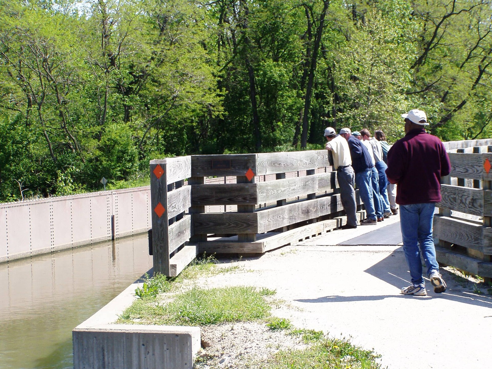
The I&M Canal State Trail is the long ride southwest of Chicago, a flat towpath that follows the old canal. It rewards a full day, a bike with real tires, and some interest in canal history. It is one of the longer Routes & Trails in the region.
The canal behind the trail
The canal gave the country its first complete water route from the East Coast to the Gulf of Mexico, by joining Lake Michigan to the Mississippi through the Illinois River1. It was finished in 1848, at a cost of $6.5 million1. It begins at the south branch of the Chicago River at Bridgeport and runs 96 miles to the Illinois River at LaSalle1.
The channel was originally 60 feet wide and 6 feet deep, with 15 locks to handle the changes in elevation1. Barges were pulled by mules or horses walking on the towpaths1. In 1933 the Illinois Waterway opened and the canal closed to navigation1. The towpath you ride today was renovated for hiking and bicycling after that1.
The route, in four sections
The Illinois Department of Natural Resources describes the trail as 61.5 miles from Rockdale along the old towpath to LaSalle1. The Canal Corridor Association splits it into four legs2.
| Section | Length | Surface |
|---|---|---|
| Rockdale to Channahon | 9 miles2 | Crushed limestone, easy and flat2 |
| Channahon to Morris | 15 miles2 | Crushed limestone2 |
| Morris to Ottawa | 22 miles2 | Crushed limestone2 |
| Ottawa to LaSalle | 14 miles2 | Part crushed limestone, part paved2 |
Access points on the Channahon-to-Morris leg include Channahon State Park, Four Rivers, McKinley Woods, Dresden, Aux Sable and Gebhard Woods State Park2.
Stops on the towpath
Channahon State Park. The site of two canal locks and the restored locktender’s house1. The park offers picnicking, tent camping, fishing and canoeing1.
Gebhard Woods State Park. A 30-acre park of slightly rolling terrain with shade trees, and an access point on the Channahon-to-Morris leg1,2.
Ottawa. The trail meets the short, paved Ottawa Riverwalk3. The Fox River Aqueduct in Ottawa is the largest on the canal1.
Buffalo Rock State Park. Two American bison call it home1. Nearby, five large earthen figures of native aquatic animals form effigies1.
Gaylord Building. Visitors can tour the renovated building, constructed of native dolomite limestone1.
The trail has educational markers at nearly every mile3. The state marks the route and posts wayside exhibits that explain the canal era1.
What to ride
Bicyclists should use thicker tires, hybrids or larger3. The surface varies from crushed limestone to grass, asphalt and gravel, and in some sections the path runs on both sides of the canal3. The towpath is mainly compacted gravel and can hold water after heavy showers3. Horseback riding is not allowed on the trail1. After at least four inches of snow, the 61.5 marked miles open to snowmobiles1.
Before a long ride, call the Illinois Department of Natural Resources at (815) 942-9501 to ask about trail conditions or report a hazard2. The state park office in Morris is reachable at (815) 942-07961. Rental bikes are available at stations in LaSalle, Utica, Morris, Channahon, Lockport and Lemont2.
The east end
The state trail ends in Rockdale, just outside Joliet3. After a gap, the trail resumes at the Joliet Iron Works Historic Site3. The Gaylord Donnelley Trail covers the 11 miles from Lockport to Joliet, part paved and part crushed limestone2. Farther on, the trail is part of a well-groomed park just off Front Street3.
See the Cal-Sag Trail guide for a neighboring ride, the Fox River Trail for a paved alternative, and the best bike rides in Chicago for the full list.
Read next
Fox River Trail: Route, Towns, Surface and How to Ride It
The Fox River Trail runs about 43 paved miles through Kane County from Algonquin to Oswego. Towns, bridges, connections and where to start.
routesCal-Sag Trail: Route, Length, Access Points and Open Gaps
The Cal-Sag Trail follows the Cal-Sag Channel from Lemont toward the Burnham Greenway, 26.8 miles when finished. Access points, the 2025 extension, open gaps.
routesBest Bike Rides in Chicago: Trails Ranked by Type of Ride
The best bike rides in Chicago: the Lakefront Trail, The 606, North Branch Trail, North Shore Channel and the forest preserves, with lengths and surfaces.
Questions people ask
How long is the I&M Canal bike trail?
The state trail is 61.5 miles, from Rockdale to LaSalle1. The canal itself ran 96 miles from Bridgeport in Chicago to LaSalle1.
Where does the I&M Canal start and end?
The canal begins at the south branch of the Chicago River at Bridgeport and runs 96 miles to the Illinois River at LaSalle1. The state trail covers the stretch from Rockdale to LaSalle1.
Is the I&M Canal still in use?
No. The Illinois Waterway opened in 1933 and the canal closed to navigation that year1. Since then it has been developed for recreation, and the towpath was renovated for hiking and bicycling1.
What bike should you ride on the I&M Canal Trail?
Pick thicker tires, hybrids or larger3. The surface runs from crushed limestone to grass, asphalt and gravel, and the towpath can hold water after heavy showers3.
Can you rent a bike on the I&M Canal Trail?
Yes. Rental bikes are available at bike stations in LaSalle, Utica, Morris, Channahon, Lockport and Lemont2.
Sources
- Illinois and Michigan CanalGOV
Illinois Department of Natural Resources · dnr.illinois.gov · checked 2026-10-19 - The I&M Canal State TrailNONPROFIT
Canal Corridor Association (I&M Canal National Heritage Area) · iandmcanal.org · checked 2026-10-19 - Illinois & Michigan Canal State TrailNONPROFIT
Rails-to-Trails Conservancy TrailLink · traillink.com · checked 2026-10-19
Photo credits (1)
- Chris Light / Wikimedia Commons · CC BY-SA 4.0 · source

Laws are quoted from Illinois statute and the Chicago Municipal Code; prices from each operator on the date shown. Editorial policy · Corrections.