Chicago Bike Map: Official Map, Bikeway Types and Route Planning Apps
The free CDOT Chicago Bike Map shows 500 miles of bikeways, shops, CTA, Metra and Divvy. Where to get it, what the lane types mean, and the apps that route you.
The official Chicago bike map is the free CDOT Chicago Bike Map, published every spring as a PDF and in print1. It shows bikeways, bike shops, CTA and Metra stops and Divvy stations across a network of more than 500 miles1. For routing, the Center for Neighborhood Technology's bike app installs on a phone4.
- At a glance
- Official map
- CDOT Chicago Bike Map, free, updated every spring1
- Network size
- 501.2 miles as of December 20251
- Biggest category
- Bike lanes, 138.5 miles1
- Protected lanes
- 68.7 miles1
- Off-street trails
- 55.3 miles1
On this page
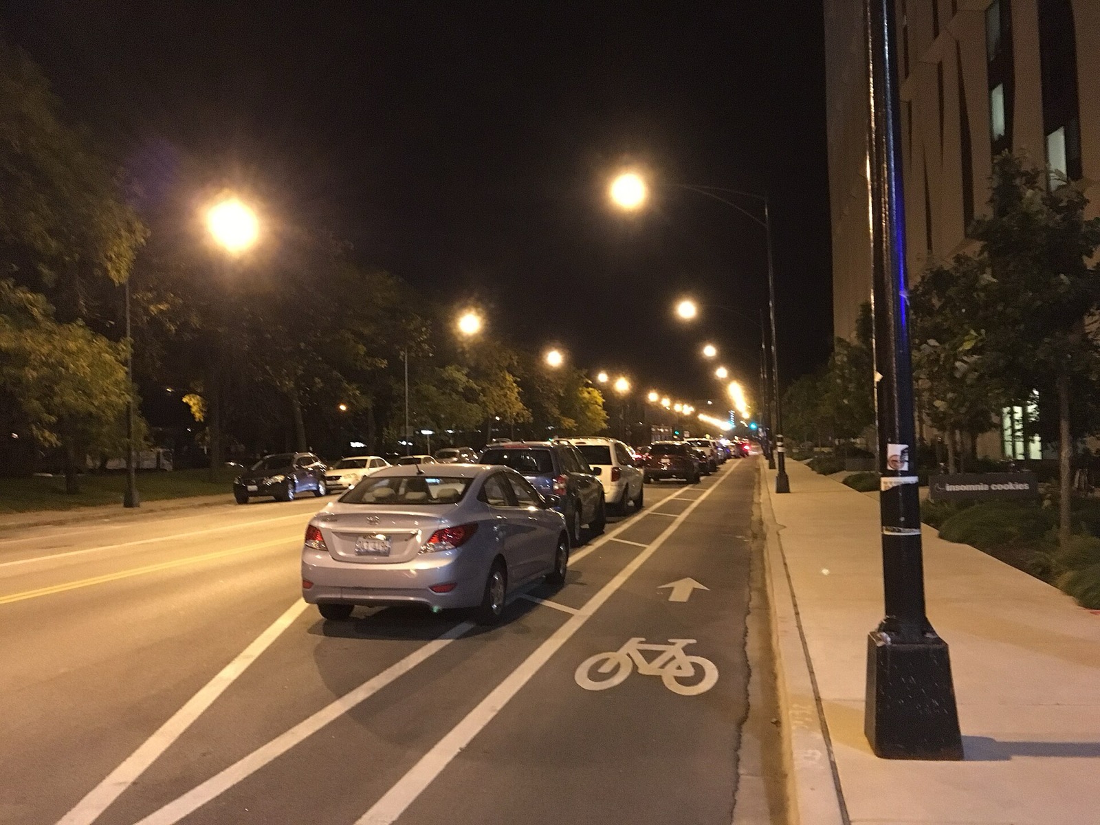
Chicago does not have one bike map. It has an official printed map, an interactive one, and routing apps built outside City Hall. Use the City’s map to see what exists, and an app to get from A to B. More routes are in Routes & Trails.
The official map
The Chicago Department of Transportation produces a free Chicago Bike Map every spring1. Besides bikeways, it shows bike shop locations, CTA and Metra stops and Divvy stations1. A PDF of the 2026 map and a Spanish-language version are online1.
Hard copies are available while supplies last at aldermanic offices and at bike shops throughout the city1. Ward offices, bike shops, libraries, community organizations and businesses can request a bulk order for pickup1. The same page carries an interactive map of the existing network1.
How big the network is
Chicago counts over 500 miles of installed or under-construction on-street bikeways and off-street trails1. CDOT tracks mileage by type and updates the figures quarterly1.
| Bikeway type | Miles, December 2025 |
|---|---|
| Protected bike lanes | 68.71 |
| Neighborhood greenways | 85.21 |
| Buffered bike lanes | 106.51 |
| Bike lanes | 138.51 |
| Marked shared lanes | 47.01 |
| Off-street trails | 55.31 |
| Total | 501.21 |
What the lane types mean
CDOT says there is no one-size-fits-all design for the city’s bikeways2. Each segment is planned around neighborhood context, land use and connections to other bikeways2.
Protected bike lanes. Dedicated space physically separated from vehicles on higher-traffic streets2. Separation comes from concrete barriers, plastic curbs and delineators, or parking lanes shifted away from the curb2.
Neighborhood greenways. Residential streets made into low-stress alternatives to arterial roads2. Priority for cyclists comes from traffic calming, signage, pavement markings and sometimes two-way bike travel on one-way side streets2.
Buffered bike lanes. On-street lanes with extra space for clearance from the door zone and moving traffic2.
Bike lanes. Dedicated on-street space marked with signs, striping and pavement markings2.
Marked shared lanes. Pavement markings and signs that emphasize cyclists’ right to use the full travel lane2. Drivers must yield to cyclists when pulling over to park, pass with care, and slow for oncoming cars and bikes2.
Advisory bike lanes. Found on narrow two-way streets where drivers must slow and move to the right to pass one another2.
Off-street trails. Car-free paths. Chicago has over 50 miles of them, including the Major Taylor Trail, the 606 and the Lakefront Trail2. See the Lakefront Trail guide and The 606.
CDOT also uses contraflow bike lanes, which allow two-way bike travel on one-way streets, and bike turn boxes at intersections where turns are difficult2.
Apps for routing
The Mellow Bike Map was started by John Greenfield of Streetsblog through a crowdsourcing effort4. It favors side streets that are low-speed and low-traffic, with speed cushions and traffic circles4. Its own pitch is Google Maps routing through quiet side streets4.
The Center for Neighborhood Technology runs a Chicago Bike Routes map with layers for CDOT lane types, the Mellow map and lower speed limits5. It offers cycling directions5. It also installs on a phone as a Progressive Web App4. The Transit App routes cyclists on crowd-sourced low-stress routes4.
Google Maps often suggests routes that are unsafe or uncomfortable for an average rider4. Check any suggested route against the official map.
Lakefront Trail maps
The lakefront trails have their own maps. They run from Ardmore Avenue on the north to 71st Street on the south6. The Chicago Park District publishes a map for each section, from Lincoln Park through Grant, Burnham and Jackson Parks, and a symbols guide to review before you ride6. The mileage guide puts those sections in order.
Where the network is growing
CDOT describes the bikeway program as over 500 miles and growing faster than ever3. More than half of the network’s expansion has been on the South and West sides3. Of planned projects, 85% are protected bike lanes and neighborhood greenways3. On Belmont, protected lanes and bus islands now run 1.8 miles from Milwaukee to Western3.
CDOT deploys specialized vehicles to sweep and plow protected bike lanes, Monday through Friday3. Its SAFE Ambassadors team gives free learn-to-ride lessons to adults and children3. For lane-by-lane detail, read Chicago bike lanes, and for ride ideas see the best bike rides in Chicago.
Read next
Chicago Bike Lanes: Network Map, Lane Types and How to Ride Them
Chicago has 501 miles of bikeways, 69 of them protected. What each lane type means, where the network is growing, and how to ride it.
routesChicago Lakefront Trail: Length, Access, Sights and Where to Start
The Lakefront Trail runs 18 miles along Lake Michigan from Ardmore to 71st Street. Where to start, what you pass, how long it takes, and current repairs.
routesBest Bike Rides in Chicago: Trails Ranked by Type of Ride
The best bike rides in Chicago: the Lakefront Trail, The 606, North Branch Trail, North Shore Channel and the forest preserves, with lengths and surfaces.
Questions people ask
Can you show me a map of bike paths in Chicago?
Yes. The City publishes an interactive map of the existing bike network on its Existing Bike Network page, and a free printed Chicago Bike Map each spring1. The map includes bike shops, CTA and Metra stops and Divvy stations1.
How long is the Chicago bike path network?
The network totals 501.2 miles as of December 20251. That includes 55.3 miles of off-street trails such as the Lakefront Trail1,2.
What bike app does Chicago use?
The City's own tool is the Chicago Bike Map1. The Center for Neighborhood Technology has a bike routing app with wayfinding that installs on a phone as a Progressive Web App4. The Transit App also routes cyclists on crowd-sourced low-stress routes4.
Sources
- Existing Bike NetworkGOV
City of Chicago, CDOT · chicago.gov · checked 2026-10-19 - Types of BikewaysGOV
City of Chicago, CDOT · chicago.gov · checked 2026-10-19 - Bikeways ProgramGOV
City of Chicago, CDOT · chicago.gov · checked 2026-10-19 - Mellow Bike Map
Mellow Bike Map · mellowbikemap.com · checked 2026-10-19 - Chicago Bike RoutesNONPROFIT
Center for Neighborhood Technology · apps.cnt.org · checked 2026-10-19 - Lakefront TrailGOV
Chicago Park District · chicagoparkdistrict.com · checked 2026-10-19
Photo credits (1)
- Eric Fischer / Wikimedia Commons · CC BY 2.0 · source

Laws are quoted from Illinois statute and the Chicago Municipal Code; prices from each operator on the date shown. Editorial policy · Corrections.